Kardigap
Kardigap
کردگاپ | |
|---|---|
Town | |
 Kardigap | |
| Coordinates: 29°44′3″N 66°27′23″E / 29.73417°N 66.45639°E | |
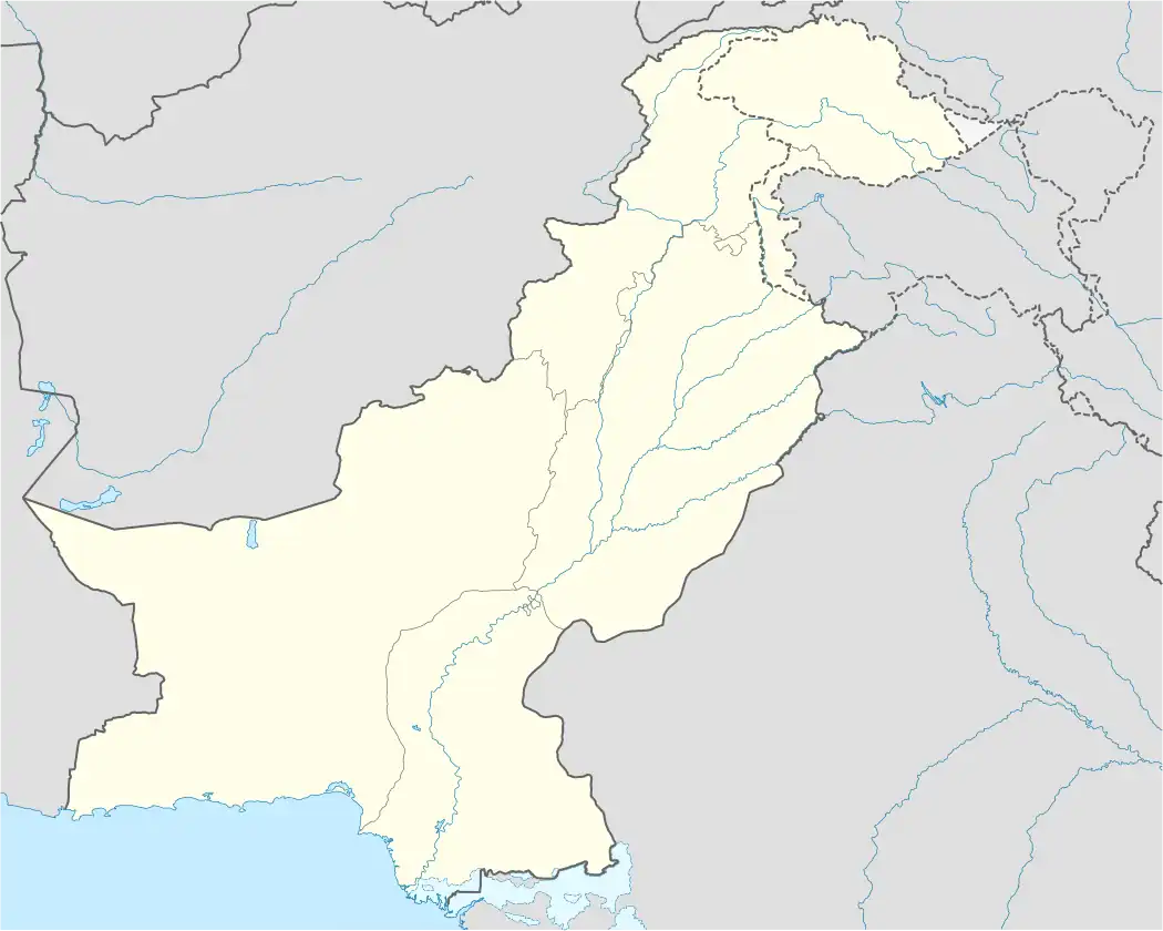
| Country | Pakistan |
| Province | Balochistan |
| Division | Kalat Division |
| District | Mustang District |
| Municipality | Kardigap |
| Time zone | PST |
| Main language | Brahui |
Kardigap, also spelled Kardagap, is a village and union council in Kirdgap Tehsil of Mastung District in Balochistan, Pakistan.[1] The settlement, located approximately 22 kilometres (14 mi) west of the Afghan boarder, lies in a high-altitude valley within the Central Brahui Range, a subrange of the Sulaiman Mountains.[2]
Kardigap is accessible via the N-40 National Highway and is served by Kirdagap railway station on the historic Quetta–Taftan railway line, built in 1905 to link Quetta with western Balochistan and Iran.[3]
References
- ^ "Mindat.org". www.mindat.org. Hudson Institute of Mineralogy. Retrieved 18 August 2025.
- ^ "Pakistan- Settlements". data.humdata.org. United Nations Office for the Coordination of Humanitarian Affairs. 2025. Retrieved 19 May 2025.
- ^ "District Economic Profile Mastung" (PDF). Small & Medium Enterprise Development Authority, Government of Pakistan. September 2022. p. 14. Retrieved 18 August 2025.