Jandari Lake
| Jandari Lake | |
|---|---|
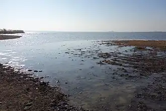 Northeast shore (Georgian side) | |
 Jandari Lake 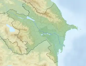 Jandari Lake | |
| Coordinates | 41°25′33″N 45°13′03″E / 41.42583°N 45.21750°E |
| Catchment area | 102 km2 (39 sq mi) |
| Basin countries | Georgia Azerbaijan |
| Max. length | 6.4 km (4.0 mi) |
| Max. width | 3 km (1.9 mi) |
| Average depth | 3.75 m (12.3 ft) |
| Max. depth | 7.2 m (24 ft) |
| Water volume | 51 million cubic metres (1.8×10⁹ cu ft) |
| Surface elevation | 291.4 m (956 ft) |
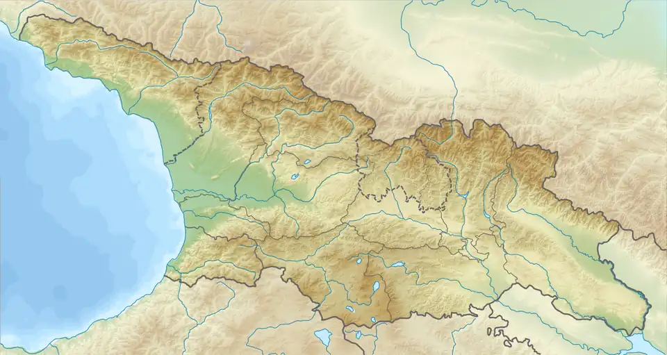
Jandari Lake (Georgian: ჯანდარის ტბა; Azerbaijani: Ağ göl) is a lake on the Azerbaijan–Georgia border, it is located in south-east Georgia and north-west Azerbaijan, at 291,4 metres above sea level. The lake's surface area is 10.6 km2, while the catchment area is 102 km2. The maximal depth is 7.2 m.[1] Some 67% of the basin is located on Georgian territory and 33% in Azerbaijan.[2]
Jandari Lake is surrounded by a blend of semi-desert and steppe vegetation, as well as patches of floodplain forest. The lake is a favoured spot for fishing and birdwatching. It is a resting and wintering site for thousands of water birds.[3][4][5]
History
Jandari used to be a shallow, salty lake that would frequently dry up during the summer. In 1870, the construction of Gardabani canal redirected water from the Mtkvari River to the lake, transforming Jandari into a reservoir. The lake was also boosted by inflow from a canal originating from the Tbilisi Samgori reservoir.[3]
References
- ^ Georgian Soviet Encyclopedia I. Apkhazava, V. 11, p. 538, 1987
- ^ Drainage basin of the caspian sea
- ^ a b "Jandari Lake: A Sanctuary for Birds & Anglers on the Georgia-Azerbaijan Border". georgia.to. Retrieved 2025-07-22.
- ^ "Why Jandary Lake?". SABUKO. 2020-10-08. Retrieved 2025-07-22.
- ^ "Jandara Lake – Exceptional Place for Fishing in Georgia". Georgia Travel. 2022-12-07. Retrieved 2025-07-22.
| Eastern Georgia |
| ||||
|---|---|---|---|---|---|
| Western Georgia |
| ||||
| Rivers | |
|---|---|
| Lakes | |
| Reservoirs | |