Jacinto, Minas Gerais
Jacinto | |
|---|---|
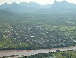 Aerial View of Jacinto | |
 Flag  Seal | |
| Nickname: Jaça | |
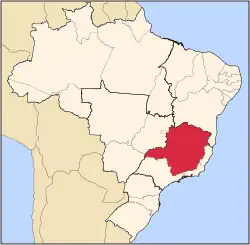
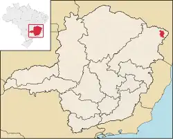 Location in Minas Gerais | |
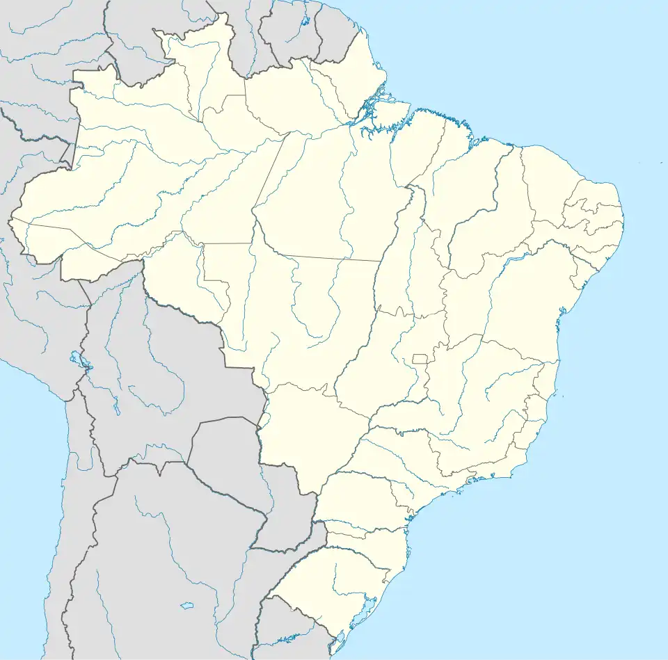 Jacinto Location in Brazil | |
| Coordinates: 16°08′38″S 40°17′34″W / 16.14389°S 40.29278°W | |
| Country | |
| Region | Southeast |
| State | Minas Gerais |
| Intermediate Geographic Region | Teófilo Otoni |
| Immediate Geographic Region | Almenara |
| Incorporated (municipality) | December 31, 1943 |
| Government | |
| • Mayor | Carlos Dantez Ferraz de Mello |
| Area | |
• Total | 1,393.609 km2 (538.075 sq mi) |
| Elevation | 180 m (590 ft) |
| Population (2020 [2]) | |
• Total | 12,323 |
| • Density | 8.71/km2 (22.6/sq mi) |
| Demonym | Jacintense[3] |
| Time zone | UTC−3 (BRT) |
| CEP postal code | 39930-000 |
| Area code | 33 |
| HDI (2010) [4] | 0,620 |
| Website | Official website |
Jacinto is a Brazilian municipality located in the northeast of the state of Minas Gerais. Jacinto is located on the right bank of the Jequitinhonha River. It is 44 kilometers east of Almenara.
Supposedly, the city name is a homage to an old settler named Jacinto who lived in the city around the 1910s.
See also
References
- ^ "Área territorial oficial" [Official Territorial Area] (in Portuguese). Brazilian Institute of Geography and Statistics (IBGE). 2002-10-10. Archived from the original on 2011-11-01. Retrieved 2014-12-03.
- ^ IBGE 2020
- ^ "IBGE - Cidades@". O Brasil Município por Município. Brazilian Institute of Geography and Statistics (IBGE). Archived from the original on 2016-03-04. Retrieved 2015-05-27.
- ^ "Ranking decrescente do IDH-M dos municípios do Brasil" [Ranking of HDI-M of Brazilian Municipalities] (PDF) (in Portuguese). United Nations Development Programme (UNDP). 2010. Archived (PDF) from the original on 2013-08-06. Retrieved 2013-08-03.