Jørstadmoen
Jørstadmoen | |
|---|---|
Village | |
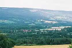 View of the village | |
 Jørstadmoen 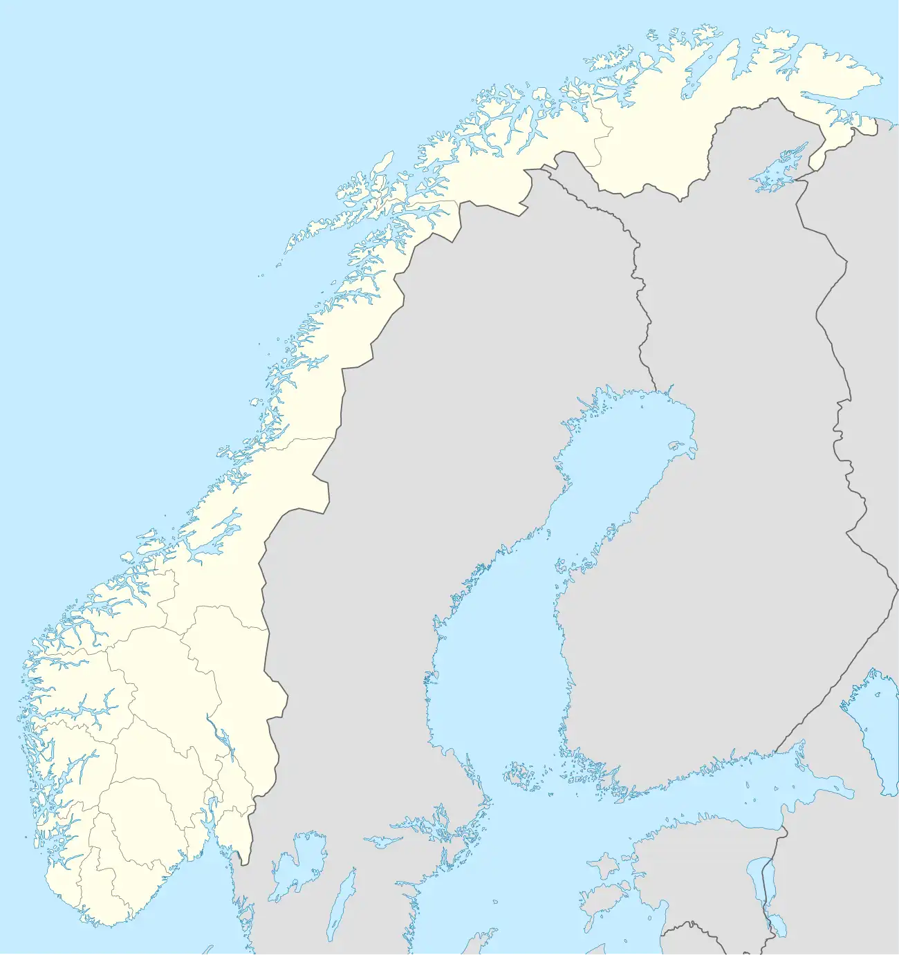 Jørstadmoen | |
| Coordinates: 61°08′44″N 10°23′04″E / 61.14558°N 10.38458°E | |
| Country | Norway |
| Region | Eastern Norway |
| County | Innlandet |
| District | Gudbrandsdalen |
| Municipality | Lillehammer Municipality |
| Area | |
• Total | 0.8 km2 (0.3 sq mi) |
| Elevation | 138 m (453 ft) |
| Population (2024)[1] | |
• Total | 656 |
| • Density | 820/km2 (2,100/sq mi) |
| Time zone | UTC+01:00 (CET) |
| • Summer (DST) | UTC+02:00 (CEST) |
| Post Code | 2625 Fåberg |
Jørstadmoen[3] is a village in Lillehammer Municipality in Innlandet county, Norway. It is located along the river Gudbrandsdalslågen, about 4 kilometres (2.5 mi) northwest of Lillehammer, and just across the river from the village of Fåberg.
The 0.8-square-kilometre (200-acre) village has a population (2024) of 656 and a population density of 820 inhabitants per square kilometre (2,100/sq mi).[1]
The village is the site of the Jørstadmoen leir, a military base that is the main base for the Norwegian Cyber Defence Force and the Cyber Engineer Academy. The village also has a school, grocery store, and sports facilities.[4]
References
- ^ a b c Statistisk sentralbyrå (1 October 2024). "Urban settlements. Population and area, by municipality".
- ^ "Jorstadmoen, Lillehammer". yr.no. Retrieved 4 July 2022.
- ^ "Informasjon om stadnamn". Norgeskart (in Norwegian). Kartverket. Retrieved 24 July 2025.
- ^ Hammer, Erlend, ed. (26 November 2024). "Jørstadmoen". Store norske leksikon (in Norwegian). Foreningen Store norske leksikon. Retrieved 24 July 2025.