Hetton railway station
Hetton | |||||
|---|---|---|---|---|---|
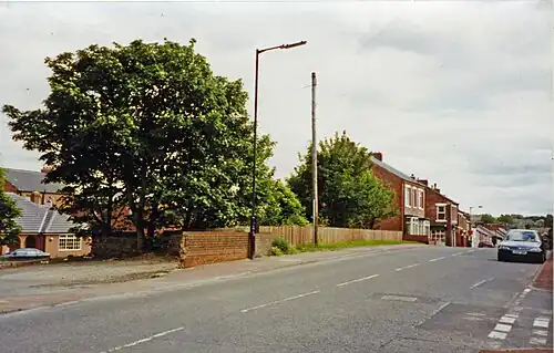 The site of the station in 2002 | |||||
| General information | |||||
| Location | Hetton-le-Hole, Tyne and Wear England | ||||
| Coordinates | 54°49′03″N 1°27′05″W / 54.8175°N 1.4515°W | ||||
| Grid reference | NZ353470 | ||||
| Platforms | 2 | ||||
| Other information | |||||
| Status | Disused | ||||
| History | |||||
| Original company | Durham and Sunderland Railway | ||||
| Pre-grouping | North Eastern Railway | ||||
| Post-grouping | LNER British Railways (North Eastern Region) | ||||
| Key dates | |||||
| 6 November 1837 | Opened | ||||
| 5 January 1953 | Closed to passengers | ||||
| 11 November 1963 | Closed to goods | ||||
| |||||
Hetton railway station served the town of Hetton-le-Hole, Tyne and Wear, England, from 1837 to 1963 on the Durham and Sunderland Railway.
History
The station opened on 6 November 1837 on the Durham and Sunderland Railway. It was situated on the west side of Station Road. It closed to passengers on 5 January 1953[1] and closed to goods on 11 November 1963. It is now a cycle path that runs between Barrow-in-Furness and Sunderland.[2]
References
- ^ Quick, M E (2002). Railway passenger stations in England, Scotland and Wales - a chronology. Richmond: Railway and Canal Historical Society. p. 225. OCLC 931112387.
- ^ "Disused Stations: Hetton Station". Disused Stations. Retrieved 28 January 2021.
External links
| Preceding station | Disused railways | Following station | ||
|---|---|---|---|---|
| Murton Line and station closed |
Durham and Sunderland Railway | Pittington Line and station closed |