Halmat
Halmat | |
|---|---|
Village | |
 Halmat Village, Neelam Valley | |
 Halmat | |
| Coordinates: 34°45′09″N 74°39′35″E / 34.7526°N 74.6596°E | |
| Country | |
| State | Azad Kashmir |
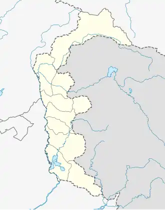
| District | Neelam |
| Elevation | 2,300 m (7,400 ft) |
| Languages | |
| • Official | Urdu |
| • Local | Kashmiri |
| Time zone | PST |
Halmat (Urdu: ہلمت) is a village in Neelam Valley, Azad Kashmir, Pakistan. It is located 189 kilometers (117 mi) from Muzaffarabad and 34 kilometers (21 mi) from Kel at the altitude of 7,400 feet (2,300 m).[1][2]
Halmat was a part of the Baramulla district before 1947.[3]
See also
References
- ^ "Neelum Valley". Azad Jammu & Kashmir Council. Archived from the original on 27 August 2013. Retrieved 26 August 2013.
- ^ "Halmat, Azad Jammu and Kashmir". AccuWeather. Retrieved 16 August 2025.
- ^ Kamili, M. H. "Census of India 1961". Volume VI: Jammu and Kashmir. PART II-A: GENERAL POPULATION TABLES. Published in 1964. The Manager of Publications, Delhi-B. pp. 22.