Halba, Lebanon
Halba
حلبا | |
|---|---|
Town | |
| Halba | |
.jpg) Halba at night (2014) | |
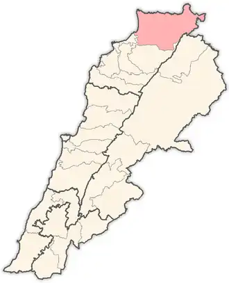
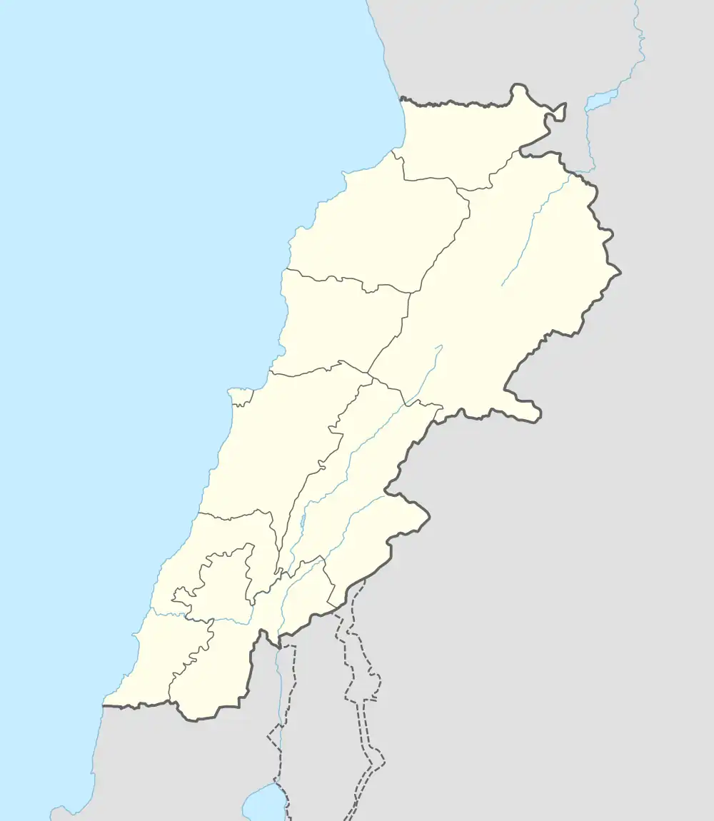 Halba Location within Lebanon | |
| Coordinates: 34°33′2″N 36°4′41″E / 34.55056°N 36.07806°E | |
| Country | |
| Governorate | Akkar Governorate |
| District | Akkar District |
| Elevation | 167 m (548 ft) |
| Population (2013) | |
• Total | 4,730 eligible voters |
| Time zone | UTC+2 (EET) |
| • Summer (DST) | UTC+3 (EEST) |
| Dialing code | +961 |
Halba (Arabic: حلبا) is the capital of Akkar Governorate in northern Lebanon, close to the border with Syria. It is located at around 34°33′2″N 36°4′41″E / 34.55056°N 36.07806°E. Its population is divided between Sunni Muslims, Greek Orthodox, Maronites, and followers of other religions.[1]
History
In 1838, American missionary Eli Smith noted the village – whose inhabitants were Greek Orthodox – located west of Cheikh Mohammad.[2]
In 1856, it was named Halba in the Kiepert maps of Palestine and Jerusalem published that year.[3]
Halba is home to the Sada Akkar newspaper,[4] the only privately owned news agency in Akkar District. Halba is also home to a Lebanese Red Cross First Aid Center.[5]
Demographics
In 2014, Muslims made up 61.49% and Christians made up 38.27% of registered voters in Halba. 60.76% of the voters were Sunni Muslims, 26.46% were Greek Orthodox and 8.50% were Maronite Catholics.[6]
References
- ^ "Municipal and ikhtiyariah elections in Northern Lebanon" (PDF). The Monthly. March 2010. p. 21. Archived from the original on 3 June 2016. Retrieved 4 November 2016.
{{cite web}}: CS1 maint: bot: original URL status unknown (link) - ^ Robinson and Smith, 1841, vol 3, 2nd appendix, p. 183
- ^ Kiepert, 1856, Map of Northern Palestine/Lebanon
- ^ https://web.archive.org/web/20120623021730/http://www.sadaakkar.com/
- ^ "Locate Us". Lebanese Red Cross. Retrieved 2024-09-18.
- ^ https://lub-anan.com/المحافظات/الشمال/عكار/حلبا/المذاهب/
Bibliography
External links
- Halba Archived 2017-02-09 at the Wayback Machine, Localiban
- Halba news section on Sada Akkar newspaper
Capital: | ||||||||||||||||
| Towns and villages |
|  | ||||||||||||||