Gillow Heath
| Gillow Heath | |
|---|---|
 Skyline of Gillow Heath | |
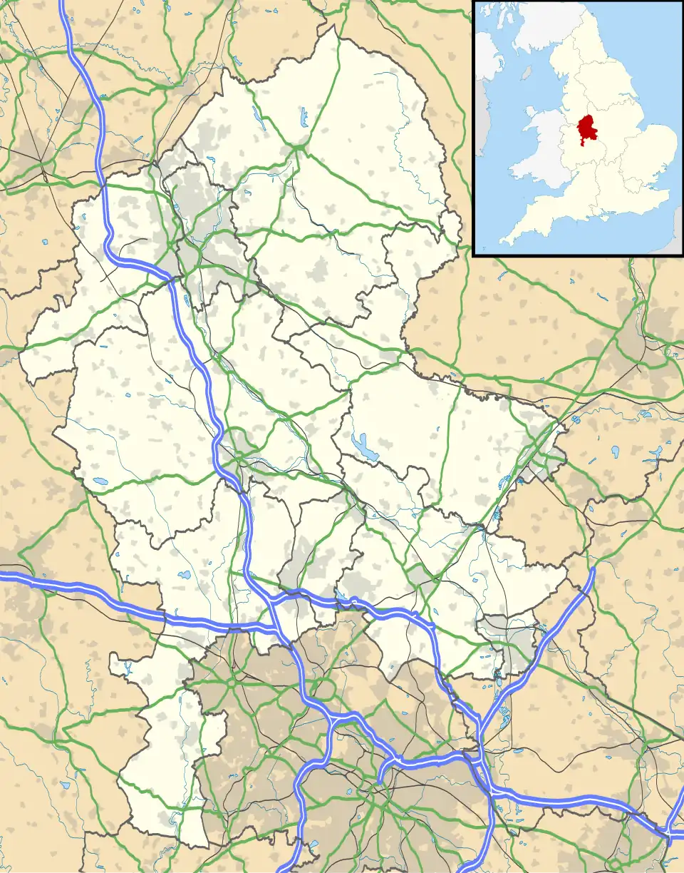 Gillow Heath Location within Staffordshire | |
| OS grid reference | SJ880586 |
| Civil parish | |
| District | |
| Shire county | |
| Region | |
| Country | England |
| Sovereign state | United Kingdom |
| Post town | STOKE-ON-TRENT |
| Postcode district | ST8 |
| Police | Staffordshire |
| Fire | Staffordshire |
| Ambulance | West Midlands |
| UK Parliament | |
Gillow Heath is a former coal mining village[1] and suburb of Biddulph in the Staffordshire Moorlands district of the county of Staffordshire, England.
History
Gillow Heath was first established in 1864, with both the arrival of the Biddulph Valley line and local industry that began during the industrial revolution.[2] With numerous coal mines, collieries and industries opening in and around the area. A notable type of mining in the village was whetstone mining and making.Gillow Heath gained a bit of local fame with the opening of a pottery-making works named "Peakies pot-bank".[3]
However, like most coal mining villages in the region. Gillow Heath's industry declined in post-industrial era with the closures of the coal mines, collieries and industries alongside the Biddulph Valley line.[4]
Today, Gillow Heath forms part of the town of Biddulph and a residential area of the town.
Amenities
Gillow Heath has no real dedicated village centre, except for a local pub, named the "Staffordshire Knot".[5] Due to its proximity to the town centre, Gillow Heath is well situated for shopping, education, commuting and working in Biddulph, Congleton, Kidsgrove, Newcastle-under-Lyme, Alsager and Stoke-on-Trent for residents and students.[6]
Transport
Gillow Heath is served by regular buses operated by First Potteries and D&G Bus services. These allow for travel to Audley, Biddulph, Kidsgrove, Hanley, Stoke-on-Trent, Congleton and other nearby settlements.[7]
The nearest active rail stations are Congleton, Kidsgrove and Longport. The village was historically served by Biddulph railway station, which was located adjacent to the boundary between the village and Biddulph. However, following closure to passengers and then freight with the line.[8] The station building and platforms survive with the station now a private residence and the platforms forming part of the Biddulph Valley Way trail.[9]
References
- ^ "Gillow Heath, Staffordshire (Village)". gazetteer.org.uk. Retrieved 10 August 2025.
- ^ J. S. WILSON, IVOR J. BROWN. "WHETSTONE MINING AT GILLOW HEATH, NEAR BIDDULPH, STAFFS" (PDF). pdmhs.co.uk. Retrieved 10 August 2025.
{{cite web}}: CS1 maint: url-status (link) - ^ "Gillow Heath Whetstone Mine - Buddlepit Mine Database". Buddlepit. Retrieved 10 August 2025.
- ^ "Local History". Biddulph - The Garden Town of Staffordshire. 4 August 2025. Retrieved 10 August 2025.
- ^ "Staffordshire Knot". www.facebook.com. Archived from the original on 15 June 2022. Retrieved 10 August 2025.
- ^ "Biddulph Bus Use". Biddulph - The Garden Town of Staffordshire. 4 August 2025. Retrieved 10 August 2025.
- ^ "Gillow Heath – Bus Times". bustimes.org. Retrieved 10 August 2025.
- ^ GENUKI. "Genuki: Some Railway Stations of Staffordshire 1872, Staffordshire". www.genuki.org.uk. Retrieved 10 August 2025.
- ^ "Smokies, 5.9 or 7.8 miles". www.ramblers.org.uk. 15 January 2025. Retrieved 10 August 2025.