Fresné-la-Mère
Fresné-la-Mère | |
|---|---|
.JPG) The church in Fresné-la-Mère | |
 Coat of arms | |
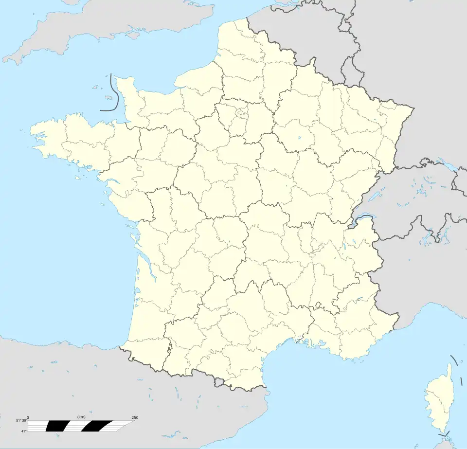
Location of Fresné-la-Mère | |
 Fresné-la-Mère 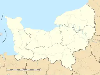 Fresné-la-Mère | |
| Coordinates: 48°53′42″N 0°07′14″W / 48.895°N 0.1206°W | |
| Country | France |
| Region | Normandy |
| Department | Calvados |
| Arrondissement | Caen |
| Canton | Falaise |
| Intercommunality | Pays de Falaise |
| Government | |
| • Mayor (2020–2026) | Maryse Lasne[1] |
Area 1 | 8.14 km2 (3.14 sq mi) |
| Population (2022)[2] | 572 |
| • Density | 70/km2 (180/sq mi) |
| Time zone | UTC+01:00 (CET) |
| • Summer (DST) | UTC+02:00 (CEST) |
| INSEE/Postal code | 14289 /14700 |
| Elevation | 58–159 m (190–522 ft) (avg. 95 m or 312 ft) |
| 1 French Land Register data, which excludes lakes, ponds, glaciers > 1 km2 (0.386 sq mi or 247 acres) and river estuaries. | |
Fresné-la-Mère (French pronunciation: [fʁɛne la mɛʁ] ⓘ) is a commune in the Calvados department in the Normandy region in northwestern France.
Geography
The commune is made up of the following collection of villages and hamlets, Le Camp, Angloischeville, Les Terres Rouges and Fresné-la-Mère.[3]
Two rivers the Trainefeuille, and the Traine-feuilles runs through the commune.[4][5]
Neighbouring communes[3] | ||||||||||||||||
|---|---|---|---|---|---|---|---|---|---|---|---|---|---|---|---|---|
| ||||||||||||||||
Population
| Year | Pop. | ±% |
|---|---|---|
| 1962 | 320 | — |
| 1968 | 303 | −5.3% |
| 1975 | 334 | +10.2% |
| 1982 | 382 | +14.4% |
| 1990 | 425 | +11.3% |
| 1999 | 417 | −1.9% |
| 2008 | 487 | +16.8% |
See also
References
- ^ "Répertoire national des élus: les maires" (in French). data.gouv.fr, Plateforme ouverte des données publiques françaises. 13 September 2022.
- ^ "Populations de référence 2022" (in French). The National Institute of Statistics and Economic Studies. 19 December 2024.
- ^ a b "Fresné-la-Mère · 14700, France". Fresné-la-Mère · 14700, France.
- ^ Sandre. "Fiche cours d'eau - Trainefeuille (I1180600)".
- ^ Sandre. "Fiche cours d'eau - Le Traine-Feuilles (I1185000)".
Wikimedia Commons has media related to Fresné-la-Mère.