Fairweather Range
| Fairweather Range | |
|---|---|
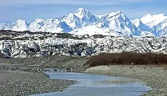 Brady Glacier of the Fairweather Range | |
| Highest point | |
| Peak | Mount Fairweather |
| Elevation | 4,671 m (15,325 ft) |
| Coordinates | 58°54′26″N 137°31′36″W / 58.90722°N 137.52667°W |
| Dimensions | |
| Area | 9,936 km2 (3,836 sq mi) |
| Geography | |
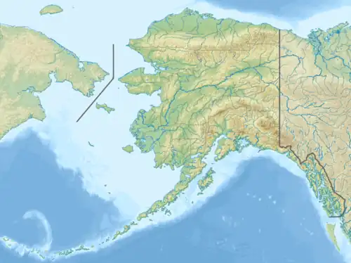 Fairweather Range Location in Alaska  Fairweather Range Location in British Columbia | |
| Countries | United States and Canada |
| State/Province | Alaska and British Columbia |
| Range coordinates | 59°14′59″N 137°27′00″W / 59.24972°N 137.45000°W[1] |
| Parent range | Saint Elias Mountains |
| Borders on |
|
The Fairweather Range is the unofficial name for a mountain range located in the U.S. state of Alaska and the Canadian province of British Columbia. It is the southernmost range of the Saint Elias Mountains. The northernmost section of the range is situated in Tatshenshini-Alsek Provincial Park while the southernmost section resides in Glacier Bay National Park,[2] in the Hoonah-Angoon Census Area.[3] In between it goes through the southeastern corner of Yakutat Borough. Peaks of this range include Mount Fairweather (the highest point in British Columbia) and Mount Quincy Adams 4,150 m (13,615 ft).
The range is home to the Fairweather Fault, an active geologic transform fault of the larger Queen Charlotte Fault along the boundary between the Pacific and North American plates.
Mountains
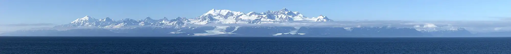
Panorama
References
- ^ "Fairweather Ranges". BC Geographical Names. Retrieved 2025-03-22.
- ^ "Fairweather Range". Bivouac.com. Retrieved 2024-01-08.
- ^ U.S. Geological Survey Geographic Names Information System: Fairweather Range