El Maragha
26°42′N 31°36′E / 26.700°N 31.600°E
El Maragha
ⲧⲁⲗⲙⲁⲣⲁⲅⲉ المراغة | |
|---|---|
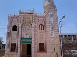 Al-Wahab mosque in Maragha | |
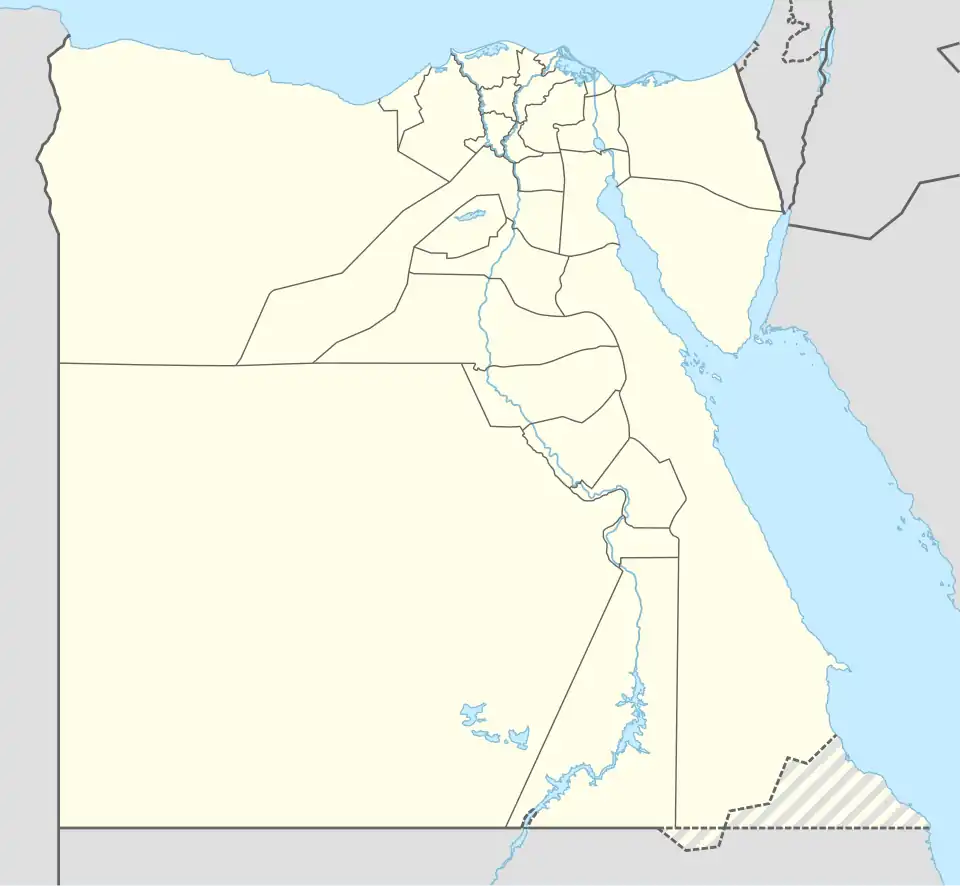 El Maragha Location in Egypt | |
| Coordinates: 26°42′N 31°36′E / 26.700°N 31.600°E | |
| Country | |
| Governorate | Sohag |
| Area | |
• Total | 144.0 km2 (55.6 sq mi) |
| Population (2023)[2] | |
• Total | 451,722 |
| • Density | 3,100/km2 (8,100/sq mi) |
| Demonym(s) | Maraghi (Male, Arabic: مراغي) Maraghiyah (Female, Arabic: مراغية) |
| Time zone | UTC+2 (EST) |
El Maragha (Arabic: المراغة, Coptic: ⲧⲁⲗⲙⲁⲣⲁⲅⲉ[3]) is a city in the Sohag Governorate in Upper Egypt. It is located on the west bank of the Nile.[4]
Etymology
The name of the city is a corruption of Arabic: مغارة, romanized: maghara, lit. 'cave'.[3] This claim is also supported by a Coptic translation of this toponym (Coptic: ⲡⲓⲥⲡⲏⲗⲁⲓⲟⲛ or ⲡⲓⲥⲡⲉⲗⲉⲱⲛ, lit. 'cave').[5]
History
El Maragha witnessed many historical events; the most prominent one is the battle of Barrod, in which a French flotilla was captured and its crew were killed on 3 March 1799.
Notable people
References
- ^ "Al-Marāghah (Markaz, Egypt) - Population Statistics, Charts, Map and Location". citypopulation.de. Retrieved 17 March 2023.
- ^ "Egypt: Administrative Division (Governorates and Districts) - Population Statistics, Charts and Map". citypopulation.de. Retrieved 8 August 2025.
- ^ a b Carsten Peust, Konstanz (2010). Die Toponyme vorarabischen Ursprungs im modernen Ägypten. Göttingen. p. 61.
{{cite book}}: CS1 maint: location missing publisher (link) - ^ "City profile for strategic urban plan of El Maragha city". unhabitat.org. UN Habitat. Retrieved 11 December 2018.
- ^ Stefan, Timm (1988). Das christlich-koptische Agypten in arabischer Zeit. p. 1586.
| Regions | ||
|---|---|---|
| Important sites | ||
| ||