Dunboyne (barony)
Dunboyne
Dún Búinne (Irish) | |
|---|---|
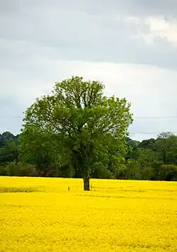 Field of rape near Dunboyne | |
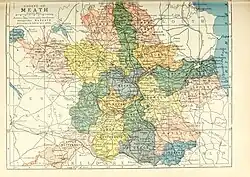 Barony map of County Meath, 1900; Dunboyne is in the southeast, coloured blue. | |
 Dunboyne | |
| Coordinates: 53°26′N 6°27′W / 53.43°N 6.45°W | |
| Sovereign state | Ireland |
| Province | Leinster |
| County | Meath |
| Area | |
• Total | 67.9 km2 (26.2 sq mi) |
Dunboyne (Irish: Dún Búinne, also spelled Donboyn) is a historical barony in southeast County Meath, Ireland.[1][2][3]
Baronies were mainly cadastral rather than administrative units. They acquired modest local taxation and spending functions in the 19th century before being superseded by the Local Government (Ireland) Act 1898.[4]
History
The barony takes its name from the town of Dunboyne.[5]
After the Norman conquest of Ireland, the title of Baron Dunboyne was granted to Thomas Butler as an Irish feudal barony in 1329.[6]
In the 12th century this area was ruled by the Ó hAonghusa (Hennessy) of Gailenga Becc.[7]
Geography
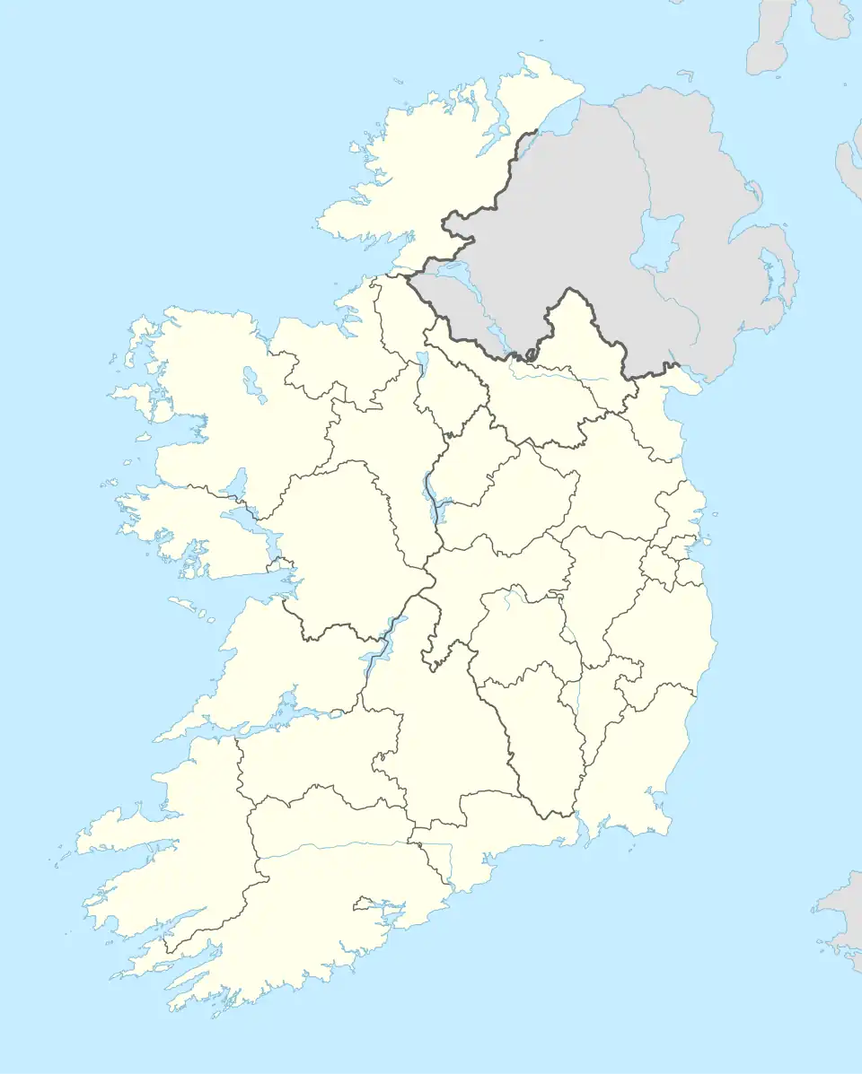
Dunboyne barony is in the southeast of the county, on the border with County Dublin.
List of settlements
Settlements within the historical barony of Dunboyne include:
References
- ^ "Dunboyne Parishes – L Brown Collection".
- ^ "Virtual Treasury". Virtual Treasury.
- ^ "Dún Búinne/Dunboyne". logainm.ie.
- ^ General Register Office of Ireland (1904). "Alphabetical index to the baronies of Ireland". Census of Ireland 1901: General topographical index. Command papers. Vol. Cd. 2071. HMSO. pp. 966–978.
- ^ "Genuki: Dunboyne, Meath". www.genuki.org.uk.
- ^ "History of Dunboyne Castle | Historical Hotels in Co. Meath".
- ^ "The Baronies of Ireland - History". 17 July 2019. Archived from the original on 17 July 2019.
- ^ "Sub-units of: Dún Búinne/Dunboyne". logainm.ie.
