Dowles
| Dowles | |
|---|---|
 The B4194 road in the former parish | |
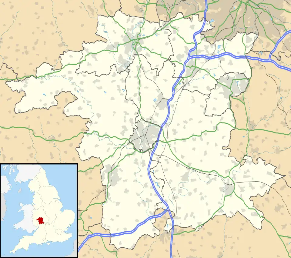 Dowles Location within Worcestershire | |
| Civil parish | |
| District | |
| Shire county | |
| Region | |
| Country | England |
| Sovereign state | United Kingdom |
Dowles is a hamlet in the civil parish of Upper Arley, in the Wyre Forest district, in the county of Worcestershire, England. It is about 3 miles from the town of Kidderminster. The parish is divided into two parts by the Severn.[1]
History
Dowles gets its name from Dowles Brook, which runs through the parish.[2] It was transferred from Shropshire to Worcestershire on 30 September 1895.[3] In 1931, the civil parish had a population of 113.[4] On 1 April 1933, the parish was abolished and merged with Upper Arley, Kidderminster Foreign and Bewdley.[5]
Notable structures
- Dowles Manor, constructed c.1600. The Manor House within Dowles, owned the majority of the land.[6]
- Dowles Church, a demolished church dedicated to Saint Andrew, of which only a graveyard and ruins of a Parish House remain. Built as part of Dowles Manor's estate on its historic land.[7]
- Dowles Bridge, constructed c.1860 for the Severn Valley Railway across the River Severn, takes its name from the hamlet.
References
- ^ "Parishes: Dowles". British History Online. Retrieved 30 September 2023.
- ^ "Dowles Key to English Place-names". The University of Nottingham. Retrieved 30 September 2023.
- ^ "Kidderminster Registration District". UKBMD. Retrieved 30 September 2023.
- ^ "Population statistics Dowles AP/CP through time". A Vision of Britain through Time. Retrieved 30 September 2023.
- ^ "Relationships and changes Dowles AP/CP through time". A Vision of Britain through Time. Retrieved 30 September 2023.
- ^ says, Stan price (20 August 2018). "The Charles Archive: Dowles Manor House - Worcestershire Archive & Archaeology Service". www.explorethepast.co.uk. Retrieved 17 April 2024.
- ^ "Dowles – Worcestershire & Dudley Historic Churches Trust". Retrieved 17 April 2024.