Darüşşafaka (Istanbul Metro)
Darüşşafaka | |||||||||||
|---|---|---|---|---|---|---|---|---|---|---|---|
 | |||||||||||
| General information | |||||||||||
| Location | Ulu Cd., Çamlıtepe Mah., 34457 Sarıyer, Istanbul | ||||||||||
| Coordinates | 41°07′49″N 29°01′30″E / 41.1302°N 29.0250°E | ||||||||||
| Owned by | Istanbul Metropolitan Municipality | ||||||||||
| Operated by | Metro Istanbul | ||||||||||
| Line(s) | |||||||||||
| Platforms | 1 island platform | ||||||||||
| Tracks | 2 | ||||||||||
| Connections | |||||||||||
| Construction | |||||||||||
| Structure type | Underground | ||||||||||
| Accessible | Yes | ||||||||||
| Other information | |||||||||||
| Website | https://metro.istanbul | ||||||||||
| History | |||||||||||
| Opened | 2 September 2010[1] | ||||||||||
| Electrified | 750V DC Third rail | ||||||||||
| Services | |||||||||||
| |||||||||||
| |||||||||||
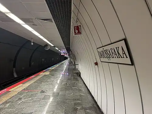
Darüşşafaka is an underground rapid transit station on the M2 line of the Istanbul Metro.[2] It is located under Büyükdere Avenue in southern Sarıyer. The station was opened on 2 September 2010 as a northern expansion of the M2 line. Until 29 October 2011 it served as the northern terminus until the line was further extended to Hacıosman. Darüşşafaka has an island platform serviced by two tracks.
Layout
| Southbound | ← | |
| Island platform | ||
| Northbound | ||
References
- ^ "M2 Yenikapı-Hacıosman". İstanbul Ulaşım (in Turkish). Archived from the original on 18 October 2015.
- ^ "Istanbul Metro Map". Turkey Travel Planner. Retrieved 2019-11-02.