Congleton Edge, Staffordshire
| Congleton Edge | |
|---|---|
 The Methodist Chapel, Congleton Edge | |
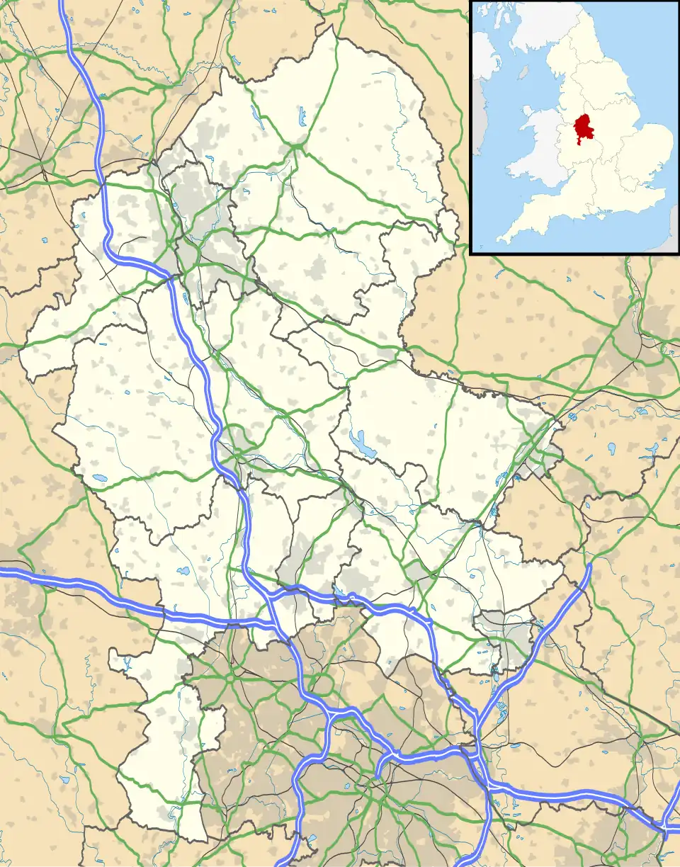 Congleton Edge Location within Staffordshire | |
| OS grid reference | SJ876598 |
| Civil parish | |
| District | |
| Shire county | |
| Region | |
| Country | England |
| Sovereign state | United Kingdom |
| Post town | CONGLETON |
| Postcode district | CW12 |
| Police | Staffordshire |
| Fire | Staffordshire |
| Ambulance | West Midlands |
| UK Parliament | |
Congleton Edge is a hamlet[1] in the Staffordshire Moorlands district of the county of Staffordshire, England. It is located on the edge of the county borders of Staffordshire and Cheshire. It takes its name from the nearby Cheshire town of Congleton.[2]
Amenities
The hamlet is rural in character and the only amenities in the hamlet are the Methodist Chapel[3] and multiple nature trails.[4]
Geography
The hamlet skirts the Cheshire/Staffordshire county borders.[5]
References
- ^ "Congleton Edge, Staffordshire". gazetteer.org.uk. Retrieved 12 August 2025.
- ^ "Congleton Edge photos, maps, books, memories - Francis Frith". www.francisfrith.com. Retrieved 12 August 2025.
- ^ "Congleton Edge Methodist Church". www.findachurch.co.uk/church/congleton. Retrieved 12 August 2025.
{{cite web}}: CS1 maint: url-status (link) - ^ "Congleton Edge and Astbury". www.ramblers.org.uk. 25 April 2024. Retrieved 12 August 2025.
- ^ GENUKI. "Genuki: Congleton Edge, Congleton, Methodist (Wesleyan), Cheshire". www.genuki.org.uk. Retrieved 12 August 2025.