Coleville, Pennsylvania
Coleville, Pennsylvania | |
|---|---|
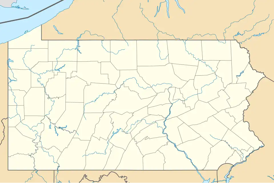 Coleville Location within the state of Pennsylvania  Coleville Coleville (the United States) | |
| Coordinates: 40°54′34.22″N 77°47′49.01″W / 40.9095056°N 77.7969472°W | |
| Country | United States |
| State | Pennsylvania |
| County | Centre |
| Township | Spring |
| Elevation | 860 ft (260 m) |
| Time zone | UTC-5 (Eastern (EST)) |
| • Summer (DST) | UTC-4 (EDT) |
| GNIS feature ID | 1172202[1] |
Coleville is a hamlet mostly in Spring Township, Centre County, Pennsylvania, United States. It is a part of Buffalo Run Valley and the larger Nittany Valley.
Geography
Coleville is north of Bush Addition, west of Bellefonte, south of Sunnyside, and east of Chemical and Valley View.[1]
Buffalo Run converges with Spring Creek in Coleville.
The Coleville Caves are approximately 100 feet long.[2]
History
In the 1880s Coleville grew as a railway town on the main line between of the Bellefonte Central Railroad.[3] The hamlet featured an engine house, shop, brickyard, iron furnaces, saw mills, and a woolen mill.[4]
References
- ^ a b U.S. Geological Survey Geographic Names Information System: Coleville, Pennsylvania
- ^ "Nittany Valley Region Plan" (PDF).
- ^ Bezilla, Micheal (May 20, 2021). "Bellefonte Central Railroad". Centre County Historical Society.
- ^ "History". Spring Township.
