Chitipa
Chitipa | |
|---|---|
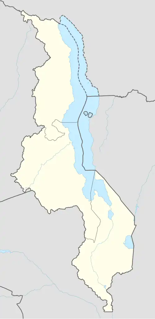 Chitipa Location in Malawi | |
| Coordinates: 9°42′07″S 33°16′12″E / 9.70194°S 33.27000°E | |
| Country | |
| Region | Northern Region |
| District | Chitipa District |
| Population (2018 Census[1]) | |
• Total | 17,743 |
| Time zone | +2 |
| Climate | Aw |
Chitipa is the capital of Chitipa District, Malawi. It is also known as Fort Hill. It is very near Malawi's tri-point border with Zambia and Tanzania. The town is known for the number of languages spoken there.[2]
It has 5 major regions headed by a traditional authority(TA),these regions are: Kameme, Wenya,z Nthalire, Misuku and finally Bulambia The headquarters of the district is in Bulambia.
Notable people
Former parliament speaker Mnyenyembe This was the birthplace of Malawian lawyer, politician, and philanthropist James Nyondo.
The town's communications were much improved in 2013 when a tarmacked road was installed.[2]
The year before his death Nyondo stood in the local elections offering to transform Chitipa into a city.[3]
Climate
| Climate data for Chitipa (1961–1990) | |||||||||||||
|---|---|---|---|---|---|---|---|---|---|---|---|---|---|
| Month | Jan | Feb | Mar | Apr | May | Jun | Jul | Aug | Sep | Oct | Nov | Dec | Year |
| Mean daily maximum °C (°F) | 26.2 (79.2) |
26.4 (79.5) |
26.1 (79.0) |
25.6 (78.1) |
24.8 (76.6) |
23.7 (74.7) |
23.5 (74.3) |
24.9 (76.8) |
27.7 (81.9) |
29.9 (85.8) |
29.6 (85.3) |
27.0 (80.6) |
26.3 (79.3) |
| Daily mean °C (°F) | 20.4 (68.7) |
20.4 (68.7) |
20.5 (68.9) |
19.9 (67.8) |
18.7 (65.7) |
17.2 (63.0) |
16.8 (62.2) |
18.2 (64.8) |
20.8 (69.4) |
22.9 (73.2) |
22.8 (73.0) |
20.9 (69.6) |
20.0 (68.0) |
| Mean daily minimum °C (°F) | 17.1 (62.8) |
17.1 (62.8) |
17.2 (63.0) |
16.9 (62.4) |
15.1 (59.2) |
12.9 (55.2) |
12.5 (54.5) |
13.7 (56.7) |
15.9 (60.6) |
17.7 (63.9) |
18.3 (64.9) |
17.6 (63.7) |
16.0 (60.8) |
| Average precipitation mm (inches) | 204.8 (8.06) |
216.0 (8.50) |
192.0 (7.56) |
56.6 (2.23) |
7.5 (0.30) |
0.6 (0.02) |
0.8 (0.03) |
0.0 (0.0) |
0.7 (0.03) |
6.0 (0.24) |
78.8 (3.10) |
224.0 (8.82) |
987.8 (38.89) |
| Average precipitation days (≥ 0.3 mm) | 21 | 19 | 19 | 10 | 3 | 2 | 2 | 1 | 1 | 2 | 7 | 20 | 107 |
| Average relative humidity (%) | 83 | 84 | 84 | 82 | 77 | 73 | 70 | 63 | 55 | 57 | 61 | 79 | 72 |
| Mean monthly sunshine hours | 142.6 | 137.2 | 173.6 | 213.0 | 260.4 | 282.0 | 300.7 | 310.0 | 297.0 | 291.4 | 234.0 | 167.4 | 2,809.3 |
| Mean daily sunshine hours | 4.6 | 4.9 | 5.6 | 7.1 | 8.4 | 9.4 | 9.7 | 10.0 | 9.9 | 9.4 | 7.8 | 5.4 | 7.7 |
| Source: NOAA[4] | |||||||||||||
Demographics
| Year | Population[5][1] |
|---|---|
| 1987 | 4,925 |
| 1998 | 7,636 |
| 2008 | 14,753 |
| 2018 | 17,743 |
References
- ^ a b "2018 Population and Housing Census Main Report" (PDF). Malawi National Statistical Office. Retrieved 25 December 2019.
- ^ a b "Chitipa thrives in linguistic diversity: 'Ukwiyisya kwiza'". 2017-02-15. Retrieved 2025-08-17.
- ^ Reporter, Nyasa Times (2014-04-14). "I will develop Chitipa into a city – James Nyondo - Malawi Nyasa Times - News from Malawi about Malawi". Retrieved 2025-08-17.
- ^ "Chitipa Climate Normals 1961–1990". National Oceanic and Atmospheric Administration (FTP). Retrieved 10 August 2016. (To view documents see Help:FTP)
- ^ World Gazetteer: Malawi: largest cities and towns and statistics of their population Archived September 27, 2007, at the Wayback Machine