Chereponi
Chereponi | |
|---|---|
District Capital | |
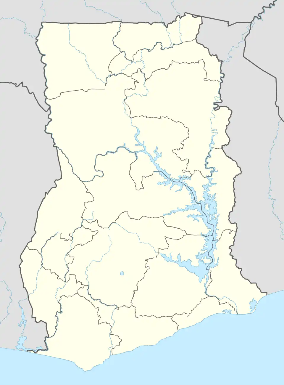 Chereponi Location of Chereponi in North East region | |
| Coordinates: 10°11′39.3493″N 0°17′50.3434″W / 10.194263694°N 0.297317611°W | |
| Country | Ghana |
| Region | North East region |
| District | Chereponi District |
| Elevation | 560 ft (170 m) |
| Population (2013) | |
• Total | — |
| Time zone | GMT |
| • Summer (DST) | GMT |
Chereponi is a small town and is the capital of the Chereponi district, a district in the North East Region of Ghana.[1][2]
Sub-communities
- Angor
- Chombosu
- Bajani
- Wenchiki
- Tusunga
- Nasoni
- Jakpa
- Masawuse
- Ando
- Tanja
- Famisah
- Mayamam
- Jimbili
- Kabilani
- Nyangbandi
- Ando-Chere
- Tosala
- Garinkuka
- Tinchangu
- Wonjuga
- Yorgu
In the North East Region, Chereponi is one of Ghana's border towns to neighbouring Togo. Wonjuga is the village where the Ghana-Togo border is pitched. It has the Customs, and Immigration Officers stationed on the same plot. From Chereponi, one could enter Togo (Sansanne Mango) or Sankansi after crossing the border. Yorgu is the last Ghanaian village nestled closed to the Comoe River before crossing into Togo.
References
- ^ "Chereponi district". Archived from the original on 2013-07-20. Retrieved 2013-06-19.
- ^ Bureau, Communications. "North East Region Created; Nalerigu Is Capital". presidency.gov.gh. Retrieved 2020-08-25.
{{cite web}}:|last=has generic name (help)
| Municipal (2) |
| .png) |
|---|---|---|
| Ordinary (4) |
| |
10°11′39.3493″N 0°17′50.3434″W / 10.194263694°N 0.297317611°W