Chappes, Aube
Chappes | |
|---|---|
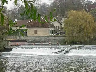 The River Seine in Chappes | |
 Coat of arms | |
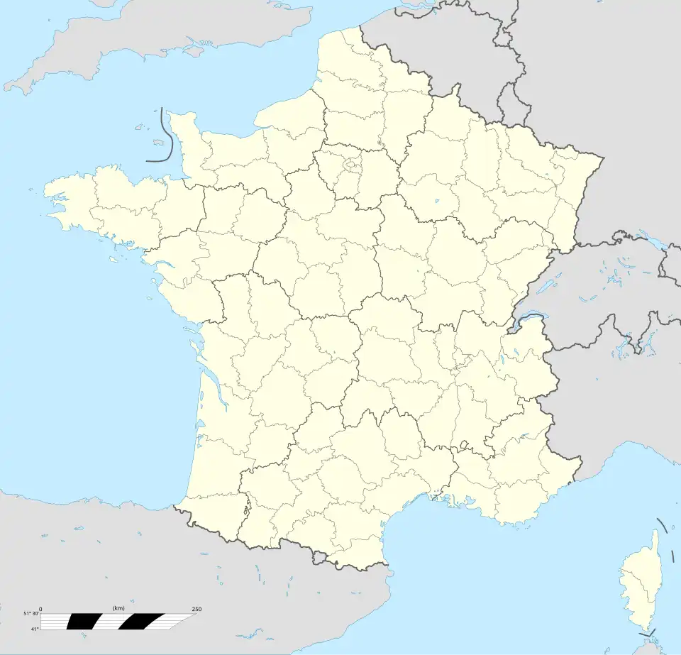
Location of Chappes | |
 Chappes 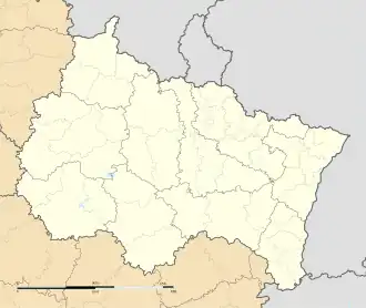 Chappes | |
| Coordinates: 48°10′01″N 4°14′49″E / 48.1669°N 4.2469°E | |
| Country | France |
| Region | Grand Est |
| Department | Aube |
| Arrondissement | Troyes |
| Canton | Bar-sur-Seine |
| Intercommunality | CC du Barséquanais en Champagne |
| Government | |
| • Mayor (2020–2026) | Claudie Odille[1] |
Area 1 | 9.75 km2 (3.76 sq mi) |
| Population (2022)[2] | 356 |
| • Density | 37/km2 (95/sq mi) |
| Time zone | UTC+01:00 (CET) |
| • Summer (DST) | UTC+02:00 (CEST) |
| INSEE/Postal code | 10083 /10260 |
| Elevation | 128–182 m (420–597 ft) (avg. 180 m or 590 ft) |
| 1 French Land Register data, which excludes lakes, ponds, glaciers > 1 km2 (0.386 sq mi or 247 acres) and river estuaries. | |
Chappes (French pronunciation: [ʃap] ⓘ) is a rural commune in the Aube department in north-central France. It is on the Seine river upstream of Troyes.
Population
| Year | Pop. | ±% |
|---|---|---|
| 1962 | 241 | — |
| 1968 | 249 | +3.3% |
| 1975 | 285 | +14.5% |
| 1982 | 277 | −2.8% |
| 1990 | 280 | +1.1% |
| 1999 | 258 | −7.9% |
| 2008 | 308 | +19.4% |
| 2012 | 289 | −6.2% |
See also
References
- ^ "Répertoire national des élus: les maires" (in French). data.gouv.fr, Plateforme ouverte des données publiques françaises. 13 September 2022.
- ^ "Populations de référence 2022" (in French). The National Institute of Statistics and Economic Studies. 19 December 2024.
Wikimedia Commons has media related to Chappes, Aube.