Châbons
Châbons | |
|---|---|
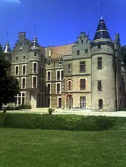 Chateau of Pupetières | |
 Coat of arms | |
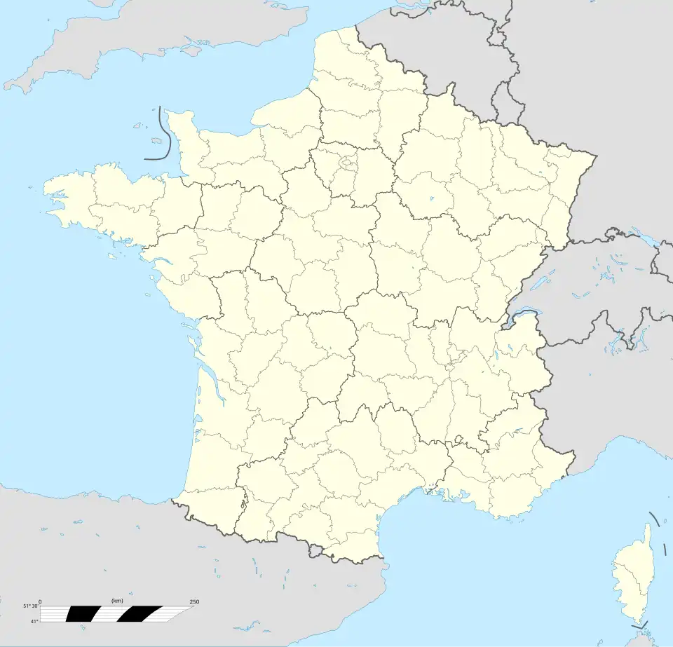
Location of Châbons | |
 Châbons 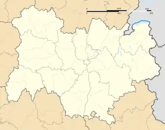 Châbons | |
| Coordinates: 45°26′41″N 5°25′54″E / 45.4447°N 5.4317°E | |
| Country | France |
| Region | Auvergne-Rhône-Alpes |
| Department | Isère |
| Arrondissement | La Tour-du-Pin |
| Canton | Le Grand-Lemps |
| Intercommunality | Bièvre Est |
| Government | |
| • Mayor (2020–2026) | Marie-Pierre Barani[1] |
Area 1 | 18.14 km2 (7.00 sq mi) |
| Population (2022)[2] | 2,152 |
| • Density | 120/km2 (310/sq mi) |
| Time zone | UTC+01:00 (CET) |
| • Summer (DST) | UTC+02:00 (CEST) |
| INSEE/Postal code | 38065 /38690 |
| Elevation | 386–687 m (1,266–2,254 ft) |
| 1 French Land Register data, which excludes lakes, ponds, glaciers > 1 km2 (0.386 sq mi or 247 acres) and river estuaries. | |
Châbons (French pronunciation: [ʃabɔ̃]) is a commune in the Isère department in southeastern France.
Geography
The Bourbre forms part of the commune's southeastern border and then flows north through the eastern part of the commune.
Population
|
| ||||||||||||||||||||||||||||||||||||||||||||||||||||||||||||||||||||||||||||||||||||||||||||||||||||||||||||||||||
| Source: EHESS[3] and INSEE (1968-2017)[4] | |||||||||||||||||||||||||||||||||||||||||||||||||||||||||||||||||||||||||||||||||||||||||||||||||||||||||||||||||||
See also
References
Wikimedia Commons has media related to Châbons.
- ^ Lua error in Module:Citation/CS1/Configuration at line 2123: attempt to index a boolean value.
- ^ Lua error in Module:Citation/CS1/Configuration at line 2123: attempt to index a boolean value.
- ^ Des villages de Cassini aux communes d'aujourd'hui: Commune data sheet Châbons, EHESS (in French).
- ^ Population en historique depuis 1968, INSEE