Cause-de-Clérans
Cause-de-Clérans | |
|---|---|
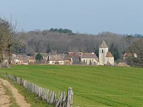
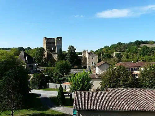 The village of Cause-de-Clérans | |
 Coat of arms | |
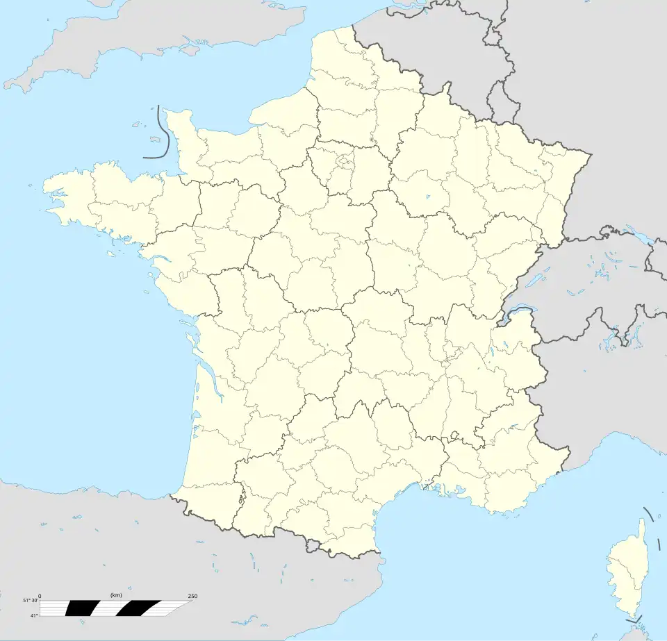
Location of Cause-de-Clérans | |
 Cause-de-Clérans  Cause-de-Clérans | |
| Coordinates: 44°51′59″N 0°40′24″E / 44.86639°N 0.67333°E | |
| Country | France |
| Region | Nouvelle-Aquitaine |
| Department | Dordogne |
| Arrondissement | Bergerac |
| Canton | Lalinde |
| Intercommunality | Communauté de communes des Bastides Dordogne-Périgord |
| Government | |
| • Mayor (2020–2026) | Bruno Monti[1] |
Area 1 | 14.35 km2 (5.54 sq mi) |
| Population (2022) | 336 |
| • Density | 23/km2 (61/sq mi) |
| Time zone | UTC+01:00 (CET) |
| • Summer (DST) | UTC+02:00 (CEST) |
| INSEE/Postal code | 24088 /24150 |
| Elevation | 47–156 m (154–512 ft) (avg. 90 m or 300 ft) |
| 1 French Land Register data, which excludes lakes, ponds, glaciers > 1 km2 (0.386 sq mi or 247 acres) and river estuaries. | |
Cause-de-Clérans (French pronunciation: [koz də kleʁɑ̃]; Occitan: Cause de Clarenç) is a commune in the Dordogne department in Nouvelle-Aquitaine in southwestern France.
Population
| Year | Pop. | ±% |
|---|---|---|
| 1962 | 350 | — |
| 1968 | 326 | −6.9% |
| 1975 | 277 | −15.0% |
| 1982 | 248 | −10.5% |
| 1990 | 278 | +12.1% |
| 1999 | 310 | +11.5% |
| 2008 | 319 | +2.9% |
Geography
General
Located in the south of the Dordogne department, within the Bergeracois, the commune forms part of the Bergerac functional area. It is crossed by the Clérans, a small tributary of the Dordogne. The village is bordered by departmental road D36, which runs northeast to southwest. It lies about 6 km west-northwest of Lalinde and 15 km east of Bergerac in a straight line.
Neighboring communes
Cause-de-Clérans borders six other communes: Saint-Marcel-du-Périgord (north), Pressignac-Vicq (northeast), Baneuil (southeast), Saint-Capraise-de-Lalinde (south), Mouleydier (southwest), and Liorac-sur-Louyre (northwest).
Geology and relief
Cause-de-Clérans lies on the northern edge of the Aquitaine Basin, with strata reflecting marine sedimentation. It occupies a plateau of sandstone and lacustrine limestone from the Tertiary period. Outcropping layers include superficial Quaternary formations and sedimentary rocks from the Cenozoic and Mesozoic.[2] Elevation ranges from 47 m in the southwest to 156 m in the northeast.[3]
Landscapes
Cause-de-Clérans is part of the Central Périgord landscape unit, with a mosaic of forest, meadows, and mixed agriculture.[4]
Hydrography
The commune lies in the Dordogne basin of the Adour–Garonne hydrographic area. It is drained by the Clérans stream, which crosses east to southwest, and by the Sérouze, which borders the territory to the north for about 3 km.[5]
Climate
Cause-de-Clérans has an altered oceanic climate. At the nearby Bergerac station (1991–2020 normals), the average annual temperature was 13.2 °C and mean annual precipitation 793 mm.[6]
Urbanism
Typology
As of 1 January 2024, the commune is classified by INSEE as rural with very dispersed housing and forms part of the Bergerac functional area (73 communes).[7]
Land use
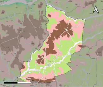
In 2018, CORINE Land Cover reported land use as 56.1% forest, 25.5% meadows, 15.7% heterogeneous agriculture, and 2.8% arable land.[8]
Sights
- The Église Saint-Pierre-ès-Liens, a Romanesque church dating from the 12th century, listed as a monument historique.[9]
- The ruins of the Château de Clérans (12th–15th centuries), also listed as a monument historique.[10]
- The Château de Cause, a manor house recognized as a monument historique.[11]
Gallery
-
Village view
-
The village of Cause and its church
-
Geological map of the commune
See also
References
- ^ "Répertoire national des élus: les maires". data.gouv.fr (in French). 2 December 2020.
- ^ "Caractéristiques géologiques et hydrogéologiques de la commune de Cause-de-Clérans". SIGES Occitanie. Retrieved 17 August 2025.
- ^ "Comparateur de territoire – Commune de Cause-de-Clérans". INSEE. Retrieved 17 August 2025.
- ^ "Portrait du Périgord central". Atlas des paysages de la Dordogne. Retrieved 17 August 2025.
- ^ "Fiche communale de Cause-de-Clérans". SIGES Aquitaine (BRGM). Retrieved 17 August 2025.
- ^ "Station Météo-France « Bergerac-Roumanière »" (PDF). Météo-France. Retrieved 17 August 2025.
- ^ "La grille communale de densité". INSEE. 28 May 2024. Retrieved 17 August 2025.
- ^ "CORINE Land Cover". Ministère de la Transition écologique. Retrieved 17 August 2025.
- ^ "Église Saint-Pierre-ès-Liens". Base Mérimée. Retrieved 17 August 2025.
- ^ "Château de Clérans". Base Mérimée. Retrieved 17 August 2025.
- ^ "Château de Cause". Base Mérimée. Retrieved 17 August 2025.