Cape Thorvaldsen
Cape Thorvaldsen
Kap Thorvaldsen | |
|---|---|
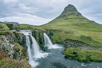 View of Cape Thorvaldsen, with Mt. Erindifjørður | |
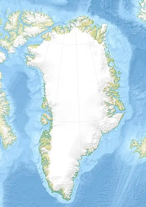 Cape Thorvaldsen Location within Greenland | |
| Coordinates: 60°40′N 47°55′W / 60.667°N 47.917°W | |
| Location | Kujalleq, Greenland |
| Offshore water bodies | Labrador Sea |
| Area | |
| • Total | Arctic |
Cape Thorvaldsen (Danish: Kap Thorvaldsen) is a headland in southwest Greenland in the Kujalleq municipality.
Geography
The cape is located southeast of Cape Desolation near the settlements of Qaqortoq and Narsaq Kujalleq (Frederiksdal).[1] The Outer Kitsissut (Torstein Islands) lie 26 km west-north-west of the cape.[2][3]
References
- ^ Kap Thorvaldsen
- ^ Wilhelm August Graah, Narrative of an Expedition to the East Coast of Greenland, p. 160
- ^ War Diary, 3/1/43 to 5/31/43 › Page 36