Cache Bay, Ontario
Cache Bay | |
|---|---|
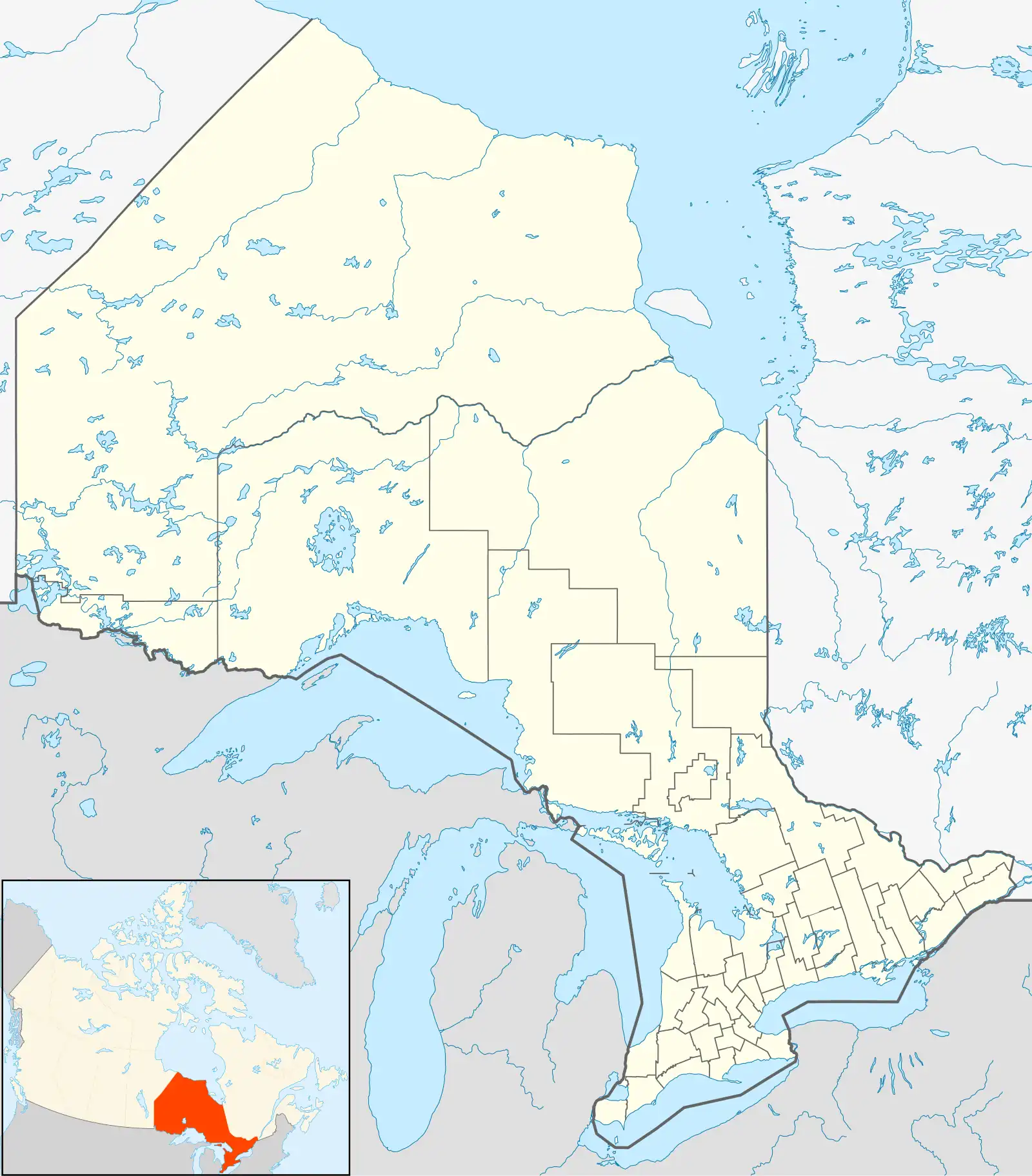 Cache Bay Location in Ontario | |
| Coordinates: 46°22′24″N 79°59′23″W / 46.37333°N 79.98972°W[1] | |
| Country | Canada |
| Province | Ontario |
| District | Nipissing |
| Municipality | West Nipissing |
| Elevation | 209 m (686 ft) |
| Population (2021)[3] | |
• Total | 658 |
| Time zone | UTC-5 (Eastern Standard Time) |
| • Summer (DST) | UTC-4 (Eastern Daylight Time) |
| Postal code | P0H 1G0 |
| Area code(s) | 705, 249, 683 |
Cache Bay is an unincorporated community in geographic Springer Township in the municipality of West Nipissing, Nipissing District, Ontario, Canada.[1][4] It is recognized as a designated place by Statistics Canada and is located on the eponymous bay on the north shore of Lake Nipissing.
Demographics
In the 2021 Census of Population conducted by Statistics Canada, Cache Bay had a population of 658 living in 268 of its 274 total private dwellings, a change of 2.7% from its 2016 population of 641. With a land area of 2.85 km2 (1.10 sq mi), it had a population density of 230.9/km2 (598.0/sq mi) in 2021.[3]
History
Cache Bay had a post office that was established in 1889.[5]
Transportation
The community is served by Ontario Highway 17.[4]
See also
References
- ^ a b "Cache Bay". Geographical Names Data Base. Natural Resources Canada. Retrieved August 14, 2025.
- ^ "Google Earth". Retrieved August 14, 2025. Taken at geographic coordinates.
- ^ a b "Population and dwelling counts: Canada and designated places". Statistics Canada. February 9, 2022. Retrieved January 11, 2025.
- ^ a b "Ontario Geographic Names Map Viewer". Ontario Ministry of Natural Resources and Forestry. Retrieved August 14, 2025.
- ^ Hamilton, William (1978). The Macmillan Book of Canadian Place Names. Toronto: Macmillan. p. 139. ISBN 0-7715-9754-1.