Bugtussle, Kentucky
Bugtussle, Kentucky | |
|---|---|
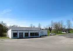 The old Bugtussle General Store | |
 Bugtussle  Bugtussle | |
| Coordinates: 36°37′33″N 85°52′33″W / 36.62583°N 85.87583°W | |
| Country | United States |
| State | Kentucky |
| County | Monroe |
| Elevation | 866 ft (264 m) |
| Time zone | UTC-6 (Central (CST)) |
| • Summer (DST) | UTC-5 (CDT) |
| GNIS feature ID | 507615[1] |
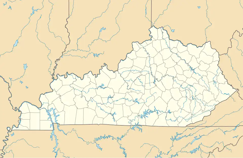
Bugtussle is an unincorporated community in Monroe County, Kentucky, United States. It is located in the southern part of the county, immediately north of the Kentucky-Tennessee state line. Kentucky Route 382 (formerly part of Kentucky Route 87)[2] connects the community with Gamaliel to the northeast[3] and Lafayette Tenn. to the southwest;[4] the highway becomes Tennessee S.R. 261 across the state line.[5]
Bugtussle was so named due to the abundance of doodlebugs there.[6] The community has been noted on lists of unusual place names.[7][8]
References
- ^ U.S. Geological Survey Geographic Names Information System: Bugtussle, Kentucky
- ^ "Google Maps".
- ^ "Bugtussle to Gamaliel".
- ^ "Bugtussle to Lafayette".
- ^ "Google Maps".
- ^ Rennick, Charles (1984). Kentucky Place Names. Lexington, KY: University Press of Kentucky. p. 40.
- ^ Parker, Quentin (2010). Welcome to Horneytown, North Carolina, Population: 15: An insider's guide to 201 of the world's weirdest and wildest places. Adams Media. pp. viii. ISBN 9781440507397.
- ^ Staten, Vince (December 18, 2012). Kentucky Curiosities: Quirky Characters, Roadside Oddities & Other Offbeat Stuff. Rowman & Littlefield. p. 80. ISBN 978-0-7627-9270-2.
External links
 Media related to Bugtussle, Kentucky at Wikimedia Commons
Municipalities and communities of Monroe County, Kentucky, United States | ||
|---|---|---|
| Cities |  | |
| Unincorporated communities | ||