Bozel
Bozel
Bosél (Arpitan) | |
|---|---|
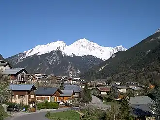 The church and surrounding buildings in Bozel | |
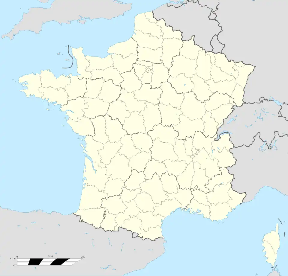
Location of Bozel | |
 Bozel 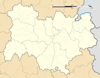 Bozel | |
| Coordinates: 45°27′08″N 6°38′56″E / 45.4522°N 6.6488°E | |
| Country | France |
| Region | Auvergne-Rhône-Alpes |
| Department | Savoie |
| Arrondissement | Albertville |
| Canton | Moûtiers |
| Intercommunality | Val Vanoise |
| Government | |
| • Mayor (2020–2026) | Sylvain Pulcini[1] |
Area 1 | 28.8 km2 (11.1 sq mi) |
| Population (2022)[2] | 2,024 |
| • Density | 70/km2 (180/sq mi) |
| Time zone | UTC+01:00 (CET) |
| • Summer (DST) | UTC+02:00 (CEST) |
| INSEE/Postal code | 73055 /73350 |
| Elevation | 746–2,589 m (2,448–8,494 ft) (avg. 768 m or 2,520 ft) |
| Website | www.ot-bozel.com, www.bozelinfo.com |
| 1 French Land Register data, which excludes lakes, ponds, glaciers > 1 km2 (0.386 sq mi or 247 acres) and river estuaries. | |
Bozel (French pronunciation: [bɔzɛl]; Arpitan Savoyard: Bosél or Bozél) is a commune in the Savoie department in the Auvergne-Rhône-Alpes region in Southeastern France. In 2019, it had a population of 1,876.
Bozel has one surface ski lift and a green run. It has 19 km of cross-country trails.
In the course of the French Revolution, it was briefly renamed Fructidor.
Gallery
-
.jpg) Tour de Bozel and Église Saint-François-de-Sales
Tour de Bozel and Église Saint-François-de-Sales -
.jpg) Monument aux morts
Monument aux morts
See also
References
- ^ "Répertoire national des élus: les maires" (in French). data.gouv.fr, Plateforme ouverte des données publiques françaises. 13 September 2022.
- ^ "Populations de référence 2022" (in French). The National Institute of Statistics and Economic Studies. 19 December 2024.
External links
Wikimedia Commons has media related to Bozel.
 Bozel travel guide from Wikivoyage
- Official site