Bjølstad
Bjølstadmo Heidal / Bjølstad | |
|---|---|
Village | |
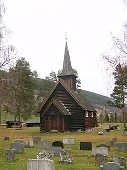 View of the village | |
 Heidal 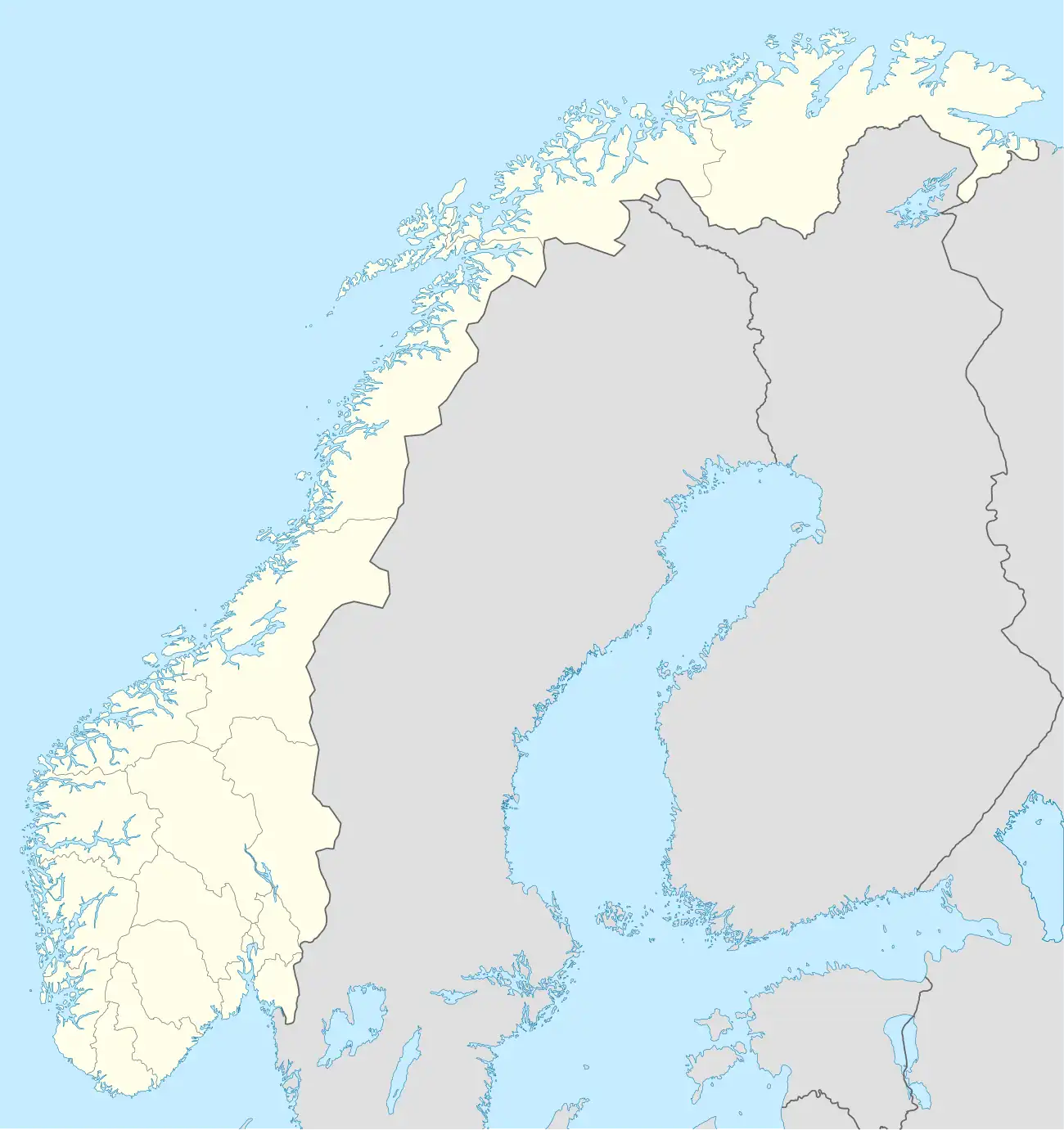 Heidal | |
| Coordinates: 61°45′31″N 9°17′10″E / 61.75858°N 9.28615°E | |
| Country | Norway |
| Region | Eastern Norway |
| County | Innlandet |
| District | Gudbrandsdalen |
| Municipality | Sel Municipality |
| Area | |
• Total | 0.53 km2 (0.20 sq mi) |
| Elevation | 473 m (1,552 ft) |
| Population (2024)[1] | |
• Total | 370 |
| • Density | 698/km2 (1,810/sq mi) |
| Time zone | UTC+01:00 (CET) |
| • Summer (DST) | UTC+02:00 (CEST) |
| Post Code | 2676 Heidal |
Bjølstadmo[3] (also called Heidal[3] or Bjølstad[1]) is a village in Sel Municipality in Innlandet county, Norway. The village is located in the Heidal valley, about 5 kilometres (3.1 mi) northeast of the village of Skogbygda and about 15 kilometres (9.3 mi) southwest of the town of Otta.[4]
The 0.53-square-kilometre (130-acre) village has a population (2024) of 370 and a population density of 698 inhabitants per square kilometre (1,810/sq mi).[1]
History
The village is the site of the historic Bjølstad Farm and the Heidal Church. Historically, this small village was the administrative centre of the old Heidal Municipality which existed from 1908 until 1965.
References
- ^ a b c d Statistisk sentralbyrå (1 October 2024). "Urban settlements. Population and area, by municipality".
- ^ "Heidal, Sel". yr.no. Retrieved 5 June 2022.
- ^ a b "Informasjon om stadnamn". Norgeskart (in Norwegian). Kartverket. Retrieved 10 August 2025.
- ^ Thorsnæs, Geir, ed. (1 August 2025). "Bjølstad (tettstad)". Store norske leksikon (in Norwegian). Foreningen Store norske leksikon. Retrieved 10 August 2025.