Bannberscheid
Bannberscheid | |
|---|---|
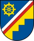 Coat of arms | |
Location of Bannberscheid within Westerwaldkreis district 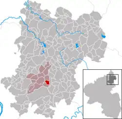 | |
 Bannberscheid 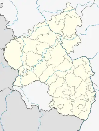 Bannberscheid | |
| Coordinates: 50°28′28″N 7°50′16″E / 50.47444°N 7.83778°E | |
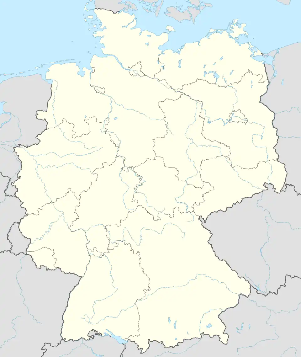
| Country | Germany |
| State | Rhineland-Palatinate |
| District | Westerwaldkreis |
| Municipal assoc. | Wirges |
| Government | |
| • Mayor (2019–24) | Georg Holl[1] |
| Area | |
• Total | 1.88 km2 (0.73 sq mi) |
| Elevation | 260 m (850 ft) |
| Population (2023-12-31)[2] | |
• Total | 683 |
| • Density | 360/km2 (940/sq mi) |
| Time zone | UTC+01:00 (CET) |
| • Summer (DST) | UTC+02:00 (CEST) |
| Postal codes | 56424 |
| Dialling codes | 02602 |
| Vehicle registration | WW |
Bannberscheid is an Ortsgemeinde – a municipality belonging to a Verbandsgemeinde – in the Westerwaldkreis in Rhineland-Palatinate, Germany.
Geography
The municipality lies north of Montabaur some 260 m in elevation in meadowland with a gradually climbing slope, within the low mountain landscape of the Westerwald, which is framed by the high Westerwald and the Montabaur Heights (Montabaurer Höhenzug). Since 1971 the municipality has belonged to what was then the newly founded Verbandsgemeinde of Wirges, a kind of collective municipality.
History
In 1211, Bannberscheid had its first documentary mention. From 1895 to 1897, the village church was built. The municipality was electrified in 1921 and in 1937 it was connected to the sewer system. Until the 1960s, clay quarrying was the municipality's main source of income.
Politics
municipality council
The council is made up of 13 council members, including the extraofficial mayor (Bürgermeister), who were elected in a majority vote in a municipal election on 7 June 2009.
Coat of arms
The municipality's arms were introduced in 1992 upon a decision by the council. They show a bend sinister of silver and red dividing the field into blue and gold. Above is a gold waterwheel and below along the shield's edge are three blue steps.
Economy and infrastructure
West of the municipality runs Bundesstraße 255, which leads from Montabaur to Rennerod. The nearest Autobahn interchange is Montabaur on the A 3 (Cologne–Frankfurt am Main), some 3 km away. The nearest InterCityExpress stop is at the railway station at Montabaur on the Cologne-Frankfurt high-speed rail line.
References
- ^ Direktwahlen 2019, Westerwaldkreis, Landeswahlleiter Rheinland-Pfalz, accessed 9 August 2021.
- ^ Bevölkerungsstand 31. Dezember 2023, Landkreise, Gemeinden, Verbandsgemeinden; Fortschreibung des Zensus 2011 (in German), Statistisches Landesamt Rheinland-Pfalz, 2024
External links