Ballygallum
Ballygallum
| |
|---|---|
 A view across Ballygallum | |
 Ballygallum Location within Northern Ireland 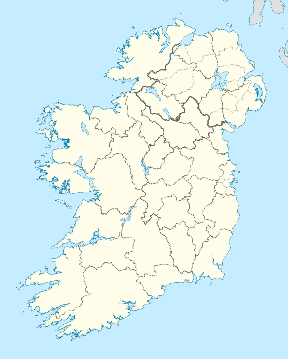 Ballygallum Location within County Down 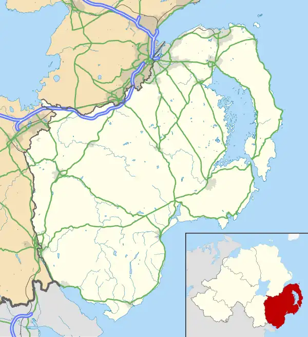 Ballygallum Ballygallum (County Down) | |
| District |
|
| County |
|
| Country | Northern Ireland |
| Sovereign state | United Kingdom |
| Post town | DOWNPATRICK |
| Postcode district | BT30 |
| Dialling code | 028 |
| UK Parliament |
|
| NI Assembly |
|
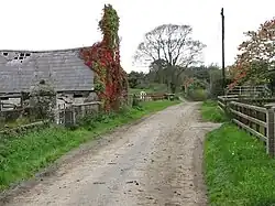
Ballygallum (Irish: Baile Ó gColaim, meaning 'townland of the O’Collums') is a townland, south of Downpatrick in County Down, Northern Ireland. The townland is approximately 0.67 km2 (164.82 acres) in area.[1] It is situated in the civil parish of Bright and the historic barony of Lecale Upper.[2]
History
Ballygallum was recorded as Ballyogalme in 1549,[3] Balliogalline in 1603, and Ballygallin alias Ballygallind in 1632. While the final element of the name might suggest a derivation from the Irish word gallán, meaning "standing stone" or "pillar stone", linguistic and historical evidence indicates that the name more likely originates from a surname. The most plausible interpretation is Baile Ó gColaim, meaning "townland of the O’Colms". The surname Ó Colaim is considered a variant of Mac Colaim (anglicised as MacCollum), which is described by Woulfe (1923, p. 335) as an Ulster surname predominantly found in the counties of Antrim, Tyrone, and Donegal.[4]
Geography
Townlands that border Ballygallum include: [1][5][6]
- Ballyclander Lower to the east
- Ballyclander Upper to the east
- Ballymote Lower to the west
- Ballywarren to the north
- Coniamstown to the south
- Grangewalls to the south
- Grangicam to the west
References
- ^ a b "Ballygallum Townland, Co. Down". townlands.ie. Retrieved 9 July 2025.
- ^ "Ballygallum". IreAtlas Townlands Database. Retrieved 20 May 2015.
- ^ Rankin, J. F. (1997). Down Cathedral. Ulster Historical Foundation. ISBN 978-0-901905-85-7. Retrieved 10 July 2025.
- ^ McKay, P., & Stockman, G. (Eds.). (1995). *Place-names of Northern Ireland: County Antrim I: The Baronies of Toome: 4*. Institute of Irish Studies, Queen's University Belfast. ISBN 978-0853895688.
- ^ "Down civil parishes (map of Bright townlands)". John Grenham. Retrieved 17 March 2025.
- ^ "PlacenamesNI.org - Ballygallum, County Down (Northern Ireland Place-Name Project, Tionscadal Logainmneacha, Thuaisceart Eirann)". ArcGIS Experience. Retrieved 20 March 2025.