Awaran
Awaran
آواران | |
|---|---|
 Awaran 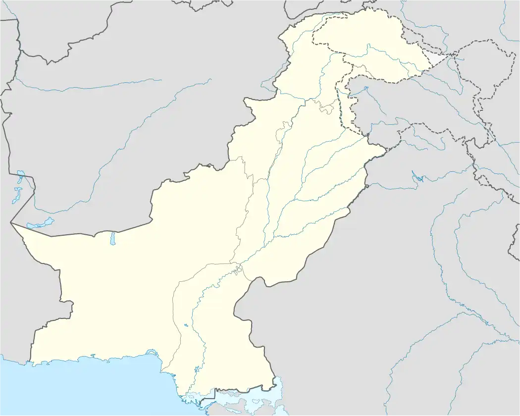 Awaran | |
| Coordinates: 26°27′25.26″N 65°13′53.3″E / 26.4570167°N 65.231472°E | |
| Country | |
| Province | |
| Division | Kalat |
| District | Awaran |
| Elevation | 529 m (1,736 ft) |
| Population | |
• Total | 28,780 |
| Time zone | UTC+5 (PKT) |
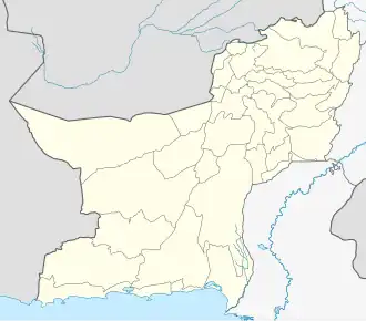
Awaran [a] is a town located in Awaran District in the south of Balochistan, Pakistan. the town has a population of 28,780 people and lies on an elevation of 529m. It serves as the district and tehsil headquarters, and is a Union Council.[2]
In September 2013, a powerful earthquake struck the District, measuring 7.7 on the Richter scale with its epicentre located around 66 kilometres (41 mi) north-northwest of Awaran.[2][3] The disaster caused the deaths of at least 386 people and 80% of the houses have been damaged or destroyed, including across the district and town of Awaran.[4]
References and notes
Explanatory notes
References
- ^ "Table 1: Area, Population by Sex, Sex Ratio, Population Density, Urban Population, Household Size and Annual Growth Rate, Balochistan" (PDF). pbs.gov.pk. Pakistan Bureau of Statistics, Census. 2023. Retrieved 19 August 2025.
- ^ a b Mengal, Mamoon U R; Mahar, Waqas A. (2018). "Disaster mitigation strategies for adobe houses: A case study of District Awaran, Balochistan, Pakistan" (PDF). orbi.uliege.be. University of Liège. Retrieved 19 August 2025.
- ^ "Pakistan earthquake: Hundreds dead in Balochistan". bbc.com. BBC News. 24 September 2013. Retrieved 19 August 2025.
- ^ Jajja, Sumaira (3 November 2013). "Special report: The Awaran earthquake – Fear in a handful of dust". dawn.com. Dawn. Retrieved 19 August 2025.