Athelstane Township, Clay County, Kansas
Athelstane Township | |
|---|---|
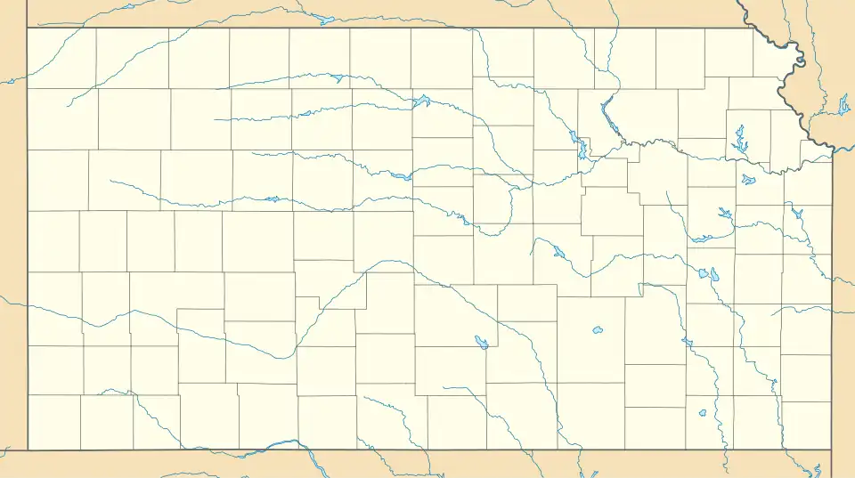
 Location in Clay County | |
| Coordinates: 39°10′45″N 097°12′11″W / 39.17917°N 97.20306°W[1] | |
| Country | United States |
| State | Kansas |
| County | Clay |
| Area | |
• Total | 36.07 sq mi (93.43 km2) |
| • Land | 36.06 sq mi (93.4 km2) |
| • Water | 0.01 sq mi (0.03 km2) 0.03% |
| Elevation | 1,204 ft (367 m) |
| Population (2000) | |
• Total | 144 |
| • Density | 4.0/sq mi (1.5/km2) |
| Time zone | UTC-6 (CST) |
| • Summer (DST) | UTC-5 (CDT) |
| FIPS code | 20-02950 [1] |
| GNIS ID | 476298 [1] |
Athelstane Township is a township in Clay County, Kansas, United States.[1] As of the 2000 census, its population was 144.
History
It was named after Athelstaneford, Scotland when Robert Hamilton, an early settler, selected the name for the post office.[2]
Geography
Athelstane Township covers an area of 36.07 square miles (93.4 km2) and contains no incorporated settlements. According to the USGS, it contains one cemetery, Athelstane.
The streams of Badger Creek, Basket Creek, and McMurray Creek run through this township.
References
- ^ a b c d e "Athelstane Township, Clay County, Kansas", Geographic Names Information System, United States Geological Survey, United States Department of the Interior
- ^ "A Continued Story of Clay County by Townships—Athelstane". The Times. June 22, 1899. p. 1. Retrieved September 9, 2014 – via Newspapers.com.

Further reading
External links
Municipalities and communities of Clay County, Kansas, United States | ||
|---|---|---|
| Cities |  | |
| CDP | ||
| Unincorporated communities | ||
| Ghost towns | ||
| Townships | ||
| Footnotes | ‡This community also has portions in an adjacent county or counties. | |