Anna Regina
07°15′48″N 58°28′50″W / 7.26333°N 58.48056°W
Anna Regina | |
|---|---|
Town and regional capital | |
 | |
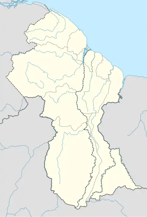 Anna Regina Location in Guyana | |
| Coordinates: 7°15′48″N 58°28′50″W / 7.26333°N 58.48056°W | |
| Country | Claimed by |
| Region | Pomeroon-Supenaam State of Guayana Esequiba |
| Population (2012)[1] | |
• Total | 2,064 |
Anna Regina is the capital of the Pomeroon-Supenaam Region of Guyana.[2] Anna Regina stands on the Atlantic coast, northwest of the mouth of the Essequibo River, 19 km north of Adventure, and was established as a town in 1970.[3] Its population was 2,064 in 2012.[1]
History
There had been a Dutch plantation at the site since the early 1800s. Later it changed ownership to an Englishman who had two daughters named Anna and Regina.[4]
In 1988 the Damon Monument was erected to honour Damon, a slave who was executed after protesting against the introduction of apprenticeship.[5] Other sites include Damon's Cross, the Aurora Chimney and estate House, Anna Regina Bridge, Anna Regina Chimney, St. Bartholomew's Anglican Church, and several Dutch tombs.[6]
Climate
Anna Regina has a tropical rainforest climate (Köppen: Af).
| Climate data for Anna Regina | |||||||||||||
|---|---|---|---|---|---|---|---|---|---|---|---|---|---|
| Month | Jan | Feb | Mar | Apr | May | Jun | Jul | Aug | Sep | Oct | Nov | Dec | Year |
| Mean daily maximum °C (°F) | 27.9 (82.2) |
28.1 (82.6) |
28.6 (83.5) |
28.9 (84.0) |
28.6 (83.5) |
28.4 (83.1) |
28.8 (83.8) |
29.8 (85.6) |
30.7 (87.3) |
30.5 (86.9) |
29.3 (84.7) |
28.3 (82.9) |
29.0 (84.2) |
| Daily mean °C (°F) | 25.8 (78.4) |
25.9 (78.6) |
26.3 (79.3) |
26.7 (80.1) |
26.6 (79.9) |
26.3 (79.3) |
26.5 (79.7) |
27.2 (81.0) |
28.0 (82.4) |
27.9 (82.2) |
27.1 (80.8) |
26.2 (79.2) |
26.7 (80.1) |
| Mean daily minimum °C (°F) | 24.1 (75.4) |
24.2 (75.6) |
24.5 (76.1) |
24.9 (76.8) |
24.9 (76.8) |
24.6 (76.3) |
24.6 (76.3) |
25.1 (77.2) |
25.7 (78.3) |
25.7 (78.3) |
25.1 (77.2) |
24.5 (76.1) |
24.8 (76.7) |
| Average precipitation mm (inches) | 176.9 (6.96) |
112.7 (4.44) |
103.7 (4.08) |
131.1 (5.16) |
261.6 (10.30) |
315.3 (12.41) |
241.6 (9.51) |
147.3 (5.80) |
79.8 (3.14) |
111.4 (4.39) |
186.6 (7.35) |
223.4 (8.80) |
2,091.4 (82.34) |
| Source: Weather.Directory[7] | |||||||||||||
See also
References
- ^ a b "2012 Population by Village". Statistics Guyana. Retrieved 16 August 2020.
- ^ "Capital towns and economic development". Ministry of Communities. Archived from the original on 2019-02-01. Retrieved 2020-08-18.
- ^ GuyanaGuide.com
- ^ "Who is Anna Regina?". Lake Main Stay Online. Retrieved 17 August 2020.
- ^ "The Damon Monument". Guyana Chronicle via Land of Six Peoples. Retrieved 29 August 2020.
- ^ NationalTrust.gov.gy Archived May 11, 2010, at the Wayback Machine
- ^ "Anna Regina Weather & Climate Guide". Weather.Directory. Retrieved 17 Aug 2025.