Ainsworth Bay, Antarctica
| Ainsworth Bay, Antarctica | |
|---|---|
 Ainsworth Bay, Antarctica .png) Ainsworth Bay, Antarctica | |
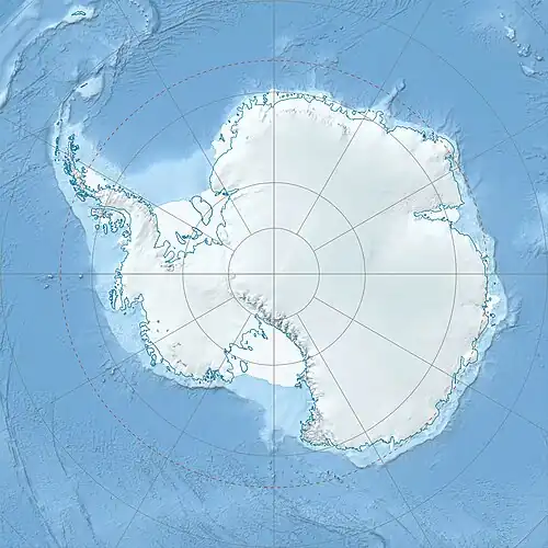
| Location | George V Land |
| Coordinates | 67°48′S 146°37′E / 67.800°S 146.617°E |
| Type | Bay |
| Etymology | George Ainsworth |
| Part of | Southern Ocean |
| Basin countries | Antartica |
| Managing agency | Australian Antarctic Territory |
| Max. width | 8 kilometres (5.0 mi) |
| Frozen | Year-round |
| References | "Ainsworth Bay". Australian Antarctic Data Centre. Retrieved 28 July 2025. |
| Location | |
Ainsworth Bay is an ice-filled recession of the coastline, eight kilometres (five miles) wide, between Cape Bage and Cape Webb in Antarctica. Discovered by the Australasian Antarctic Expedition (1911–1914) under Douglas Mawson, and named by him for George Ainsworth, a member of the expedition who served as leader and meteorologist with the Australasian Antarctic Expedition party on Macquarie Island during 1911–1913.
![]() This article incorporates public domain material from "Ainsworth Bay". Geographic Names Information System. United States Geological Survey.
This article incorporates public domain material from "Ainsworth Bay". Geographic Names Information System. United States Geological Survey.