Adra, Hooghly
Adra | |
|---|---|
Village | |
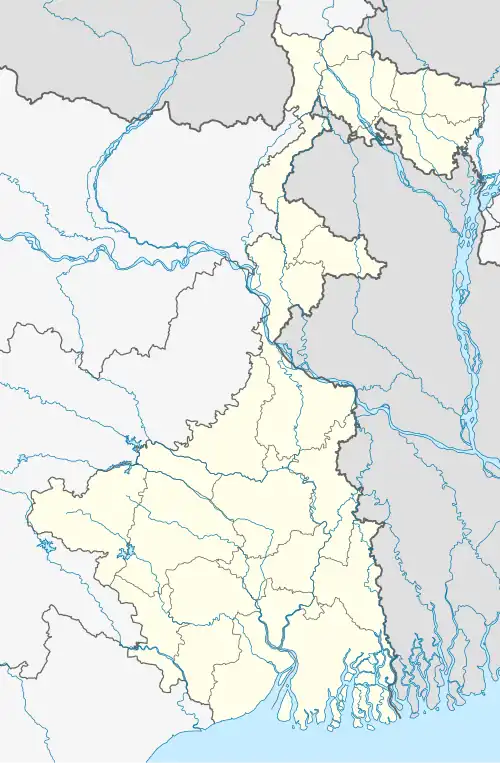 Adra Location in West Bengal, India  Adra Adra (India) | |
| Coordinates: 22°57′02″N 87°45′21″E / 22.95056°N 87.75583°E | |
| Country | |
| State | West Bengal |
| District | Hooghly |
| Founded by | - |
| Named after | - |
| Government | |
| • Type | Panchayati raj (India) |
| • Body | Gram panchayat |
| Area | |
• Village | 1.35 km2 (0.52 sq mi) |
| • Rural | 1.35 km2 (1.35 sq mi) |
| Population (2011) | |
• Village | 481(as2,011) |
| Demonym | Bengali |
| Languages | |
| • Official | Bengali, English |
| Time zone | UTC+5:30 (IST) |
| ISO 3166 code | IN-WB |
| Vehicle registration | WB18 |
| Website | wb |
Adra is a village in the Bhadur Gram Panchayat in the Goghat I CD block in the Arambag subdivision of the Hooghly district in the Indian state of West Bengal.
Demographics
Religion and language
As per the 2011 census, majority of the population of the district belong to the Hindu community with a population share of 100%. The percentage of the Hindu population of the district has followed a decreasing trend from 87.1% in 1961 to 82.9% in the latest census 2011. On the other hand, the percentage of Muslim population has increased from 12.7% in 1961 to 15.8% in 2011 census.[2]
In the 2011 census Hindus numbered 125,620 and formed 89.71% of the population in Goghat I CD Block. Muslims numbered 13,655 and formed 9.75% of the population. Others numbered 755 and formed 0.54% of the population.[1]
At the time of the 2011 census, 100% of population spoke Bengali language.
Area overview
The Arambagh subdivision, presented in the map alongside, is divided into two physiographic parts – the Dwarakeswar River being the dividing line. The western part is upland and rocky – it is extension of the terrain of neighbouring Bankura district. The eastern part is flat alluvial plain area. The railways, the roads and flood-control measures have had an impact on the area.[4] The area is overwhelmingly rural with 94.77% of the population living in rural areas and 5.23% of the population living in urban areas.
Arambagh is the nearest town.
It is located on the bank of the Dwarakeswar River. It bounded by villages -Surjyapur, Pyarinagar, Bhadur, Birampur, Mandalganthi, Sekati & Par Adra.
References
- ^ a b "Table C-01 Population by Religion: West Bengal". censusindia.gov.in. Registrar General and Census Commissioner of India. 2011.
- ^ "District Census Handbook: Hugli, Series-20, Part XIIA" (PDF). Religion, Mother-tongue Pages 50-51. Directorate of Census Operations, West Bengal, 2011. Retrieved 1 June 2017.
- ^ "Table C-16 Population by Mother Tongue: West Bengal". www.censusindia.gov.in. Registrar General and Census Commissioner of India.
- ^ "District Census Handbook: Hugli, Series-20, Part XIIA" (PDF). Physiography, Page 17-19. Directorate of Census Operations, West Bengal, 2011. Retrieved 25 September 2020.
- ^ "District Statistical Handbook 2014 Hooghly". Table 2.2, 2.4(a). Department of Planning and Statistics, Government of West Bengal. Retrieved 25 September 2020.