Łopata Polska
Łopata Polska | |
|---|---|
Peninsula | |
 | |
 Łopata Polska | |
| Coordinates: 49°21′25″N 20°48′8″E / 49.35694°N 20.80222°E | |
| Country | |
| Voivodeship | Lesser Poland |
| County | Nowy Sącz |
| Gmina | Muszyna |
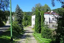
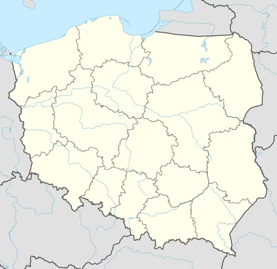
Łopata Polska [wɔˈpata ˈpɔlska] is a hamlet in the Żegiestów at the administrative district of Gmina Muszyna, within Nowy Sącz County, Lesser Poland Voivodeship, in southern Poland, close to the border with Slovakia.[1] It lies approximately 8 kilometres (5 mi) west of Muszyna, 31 km (19 mi) south of Nowy Sącz, and 100 km (62 mi) south-east of the regional capital Kraków.
References
- ^ "Główny Urząd Statystyczny" [Central Statistical Office] (in Polish). To search: Select "Miejscowości (SIMC)" tab, select "fragment (min. 3 znaki)" (minimum 3 characters), enter town name in the field below, click "WYSZUKAJ" (Search).
| Town and seat |  | |
|---|---|---|
| Villages | ||