Łąkie, Złotów County
Łąkie | |
|---|---|
Village | |
 Łąkie | |
| Coordinates: 53°30′8″N 17°7′22″E / 53.50222°N 17.12278°E | |
| Country | |
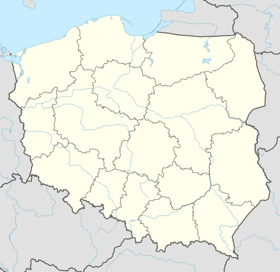
| Voivodeship | Greater Poland |
| County | Złotów |
| Gmina | Lipka |
| Population | 520 |
| Time zone | UTC+1 (CET) |
| • Summer (DST) | UTC+2 (CEST) |
| Vehicle registration | PZL |
Łąkie [ˈwɔnkʲɛ] (German: Lanken)[1] is a village in the administrative district of Gmina Lipka, within Złotów County, Greater Poland Voivodeship, in north-central Poland.[2] It is situated on the southern shore of Lake Łąkie[3] in the ethnocultural region of Krajna in the historic region of Greater Poland.
History
The territory became a part of the emerging Polish state under its first historic ruler Mieszko I in the 10th century. Łąkie was a private village of Polish nobility, including the Potulicki, Grudziński and Działyński families,[3] administratively located in the Nakło County in the Kalisz Voivodeship in the Greater Poland Province.[4] It was annexed by Prussia in the First Partition of Poland in 1772, and from 1871 to 1945 it was part of Germany.
References
- ^ Ortsnamenverzeichnis der Ortschaften jenseits von Oder und Neiße by M. Kaemmerer
- ^ "Główny Urząd Statystyczny" [Central Statistical Office] (in Polish). To search: Select "Miejscowości (SIMC)" tab, select "fragment (min. 3 znaki)" (minimum 3 characters), enter town name in the field below, click "WYSZUKAJ" (Search).
- ^ a b Słownik geograficzny Królestwa Polskiego i innych krajów słowiańskich, Tom V (in Polish). Warsaw. 1884. p. 636.
{{cite book}}: CS1 maint: location missing publisher (link) - ^ Atlas historyczny Polski. Wielkopolska w drugiej połowie XVI wieku. Część I. Mapy, plany (in Polish). Warsaw: Institute of History, Polish Academy of Sciences. 2017. p. 1b.
| Seat |  | |
|---|---|---|
| Other villages | ||